What is recorded here
Located on a local rise with small SE-NW streams c. 150m to the NE and c. 200m to the SW. It is described as a graveyard on the 1834 and 1907 editions of the OS 6-inch map. This is a rectangular, slightly raised and overgrown area (dims 27.7m NW-SE; 23.4m NE-SW; 27.7m) enclosed by the foundations and the remains of a…
Read the whole record
From the National Monuments Service (Archaeological Survey of Ireland) record MO024-004
Places near here
Picture notes
- Computer-made picture. It does not show this monument.
- Computer-made picture. It does not show this mountain top.
- National Inventory of Architectural Heritage
- Computer-made picture. It does not show this playground.
 Fairy fort / earthen ringfort in TullycarraghFairy fort / earthen ringfort · 722 ydComputer-made picture
Explorer Tom Fairy fort / earthen ringfort in Tullycarragh smells like wet pine needles and ancient secrets, according to my nose. It’s sitting in the middle of a forest, looking very smug about it. Give it a pat on the way past, it's had a long life.
 Fairy fort / earthen ringfort in Drumguillew UpperFairy fort / earthen ringfort · 900 ydComputer-made picture
Explorer Tom Fairy fort / earthen ringfort in Drumguillew Upper lost the Vikings when they looked for it. They probably went home confused and angry. It’s got multiple banks that look like they’re arguing with each other. A handy spot to stretch your legs and your imagination.
 CorderryduffMountain / peak · 1529 ydComputer-made picture
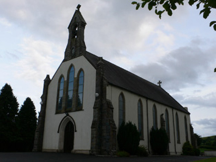 All Saints' Catholic ChurchChurch/chapel · 1.6 mi
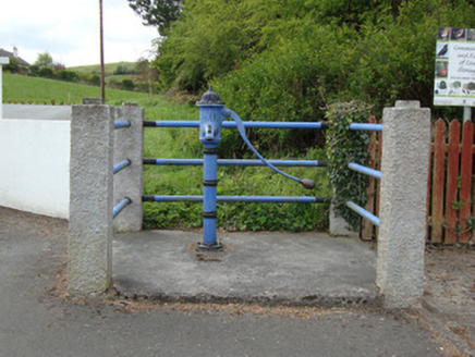 water pump1.6 mi
Explorer Tom Water pump in Doohamlat would post selfie pictures of itself every morning claiming it’s the village’s main social media influencer. It’s got artistic detailing because even pumps need a personality boost. Stand back, squint, and pretend you’re thirsty.
 Children's playground1.6 miComputer-made picture
 Doohamlet Community ParkChildren's playground · 1.7 miComputer-made pictureMonaghan WayWalking route · 2.3 miFort HillWood · 2.5 miIllanshivansIslet · 2.6 miLough Egish IslandIslet · 2.7 mi
 BananimmaMountain / peak · 4.1 miComputer-made picture
More archaeology and monuments in County Monaghan · All of County Monaghan

What do you know about this place?Tap to add a comment or ask a question