
What is recorded here
Situated in a slight col between local summits c. 120m to the N and c. 340m to the SE in an undulating landscape. It is marked on the 1834 and 1907 editions of the OS 6-inch map where it is described in gothic lettering as ‘The Cashel’ and it is now in a small triangular coniferous plantation. It is probably a court-tomb with a roughly trapezoidal cairn (L 29m N-S; Wth 18m) incorporating at the N end a deep U-shaped court (L 6.5m; Wth 3.6m). The gallery is represented by a single side stone.
The above description is derived from the published 'Archaeological Inventory of County Monaghan' (Dublin: Stationery Office, 1986). In certain instances the entries have been revised and updated in the light of recent research.
Revised by: Michael Moore
Date of revision: 22 June 2018
The monument record does not grant public access. Check the route and ask the landowner before entering private land.
- What survives
- Recorded monument
Places near here
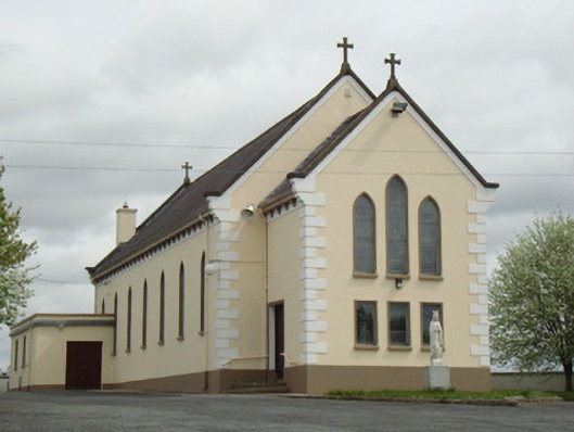 Catholic Church of Our Lady of Knockchurch/chapel · 944 yd
 IndicatedCrannog · 1374 yd
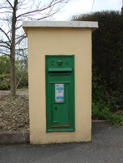 post boxpost box · 1491 yd
 Giants GraveWedge tomb · 1504 yd
 Fort HillWood · 1670 yd
 Laragh WoodForest · 1.6 mi
 The CrescentMemorial · 4.0 mi
 IllanshivansIslet · 4.1 mi
 Lough Egish IslandIslet · 4.2 mi
 John Francis GreenMemorial · 4.5 mi
 Bawn in OnomyBawn · 4.6 mi
 Blaney CastleCastle · 4.7 mi
Other information
Photo: Credit not shown in the picture search · Rights wording not checked; contact us if this picture should be removed