Archaeology and monuments in County Longford
The Discover Alone map has 1,715 archaeology and monuments in County Longford, Ireland. Below are the 60 with the most written about them, pictures first. Every one has its own page with directions and places nearby.
Open County Longford on the map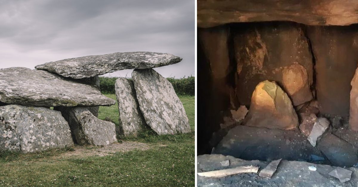 Wedge tomb in Clooneen (beirne)Wedge tombWedge tomb in Clooneen (beirne) is an 8.5m East-West gallery split by a septal stone into a western portico and eastern…
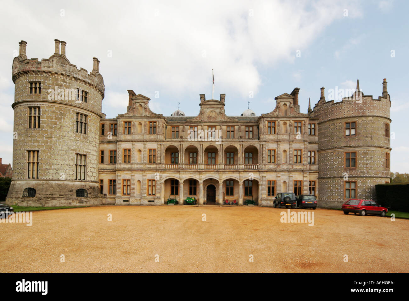 Walshs FortFairy fort / earthen ringfortWalshs Fort is a fairy ring in County Longford pasture, an oval of raised earth and scarp that may have housed people…
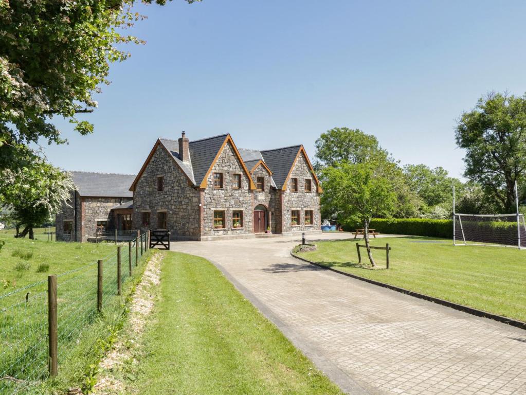 ToberreendoneyHoly wellToberreendoney, the Well of the King of Sunday, stood on a southwest-facing slope in County Longford, marked as a site…
 TobernamanneeveHoly wellTobernamanneeve is the Well of the Holy Woman, a sacred spring at the edge of Abbeylara village. It flows through a…
 TobergownaHoly wellTobergowna, the Well of the Calf, sleeps buried beneath pasture in County Longford after cultivation choked its sacred…
 ToberfintanHoly wellToberfintan is a holy well in County Longford, Ireland. It sits on wet low-lying ground beside a stream, marked by a…
Tober PatrickHoly wellTober Patrick is a hidden holy well in County Longford, Ireland, where clear water still flows south from a spring…
 Tober PatrickCrossTober Patrick is a lost wooden cross that once stood beside a holy well and tree in a hollow on the SSE bank of a small…
 Tober PatrickHoly wellTober Patrick is a holy well in County Longford, Ireland, dedicated to St Patrick. It sits within a large natural…
 Tober FelimHoly wellTober Felim is a holy well in low-lying pasture, County Longford. It flows without walls or marks, yet people still…
 StructureStructure — peatlandThis structure, orientated N-S, consisted of a disturbed deposit (L 2.03m; Wth 1.27m; D 0.25m) of brushwood (diam.…
StructureStructure — peatlandA deposit of archaeological wood noted during field survey in 1989 (pers. comm. B. Raftery). The evidence is…
 StructureStructure — peatlandA deposit of archaeological wood noted during field survey in 1989 (pers. comm. B. Raftery). The evidence is…
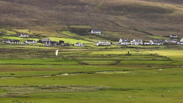 StructureStructure — peatlandA deposit of archaeological wood noted during field survey in 1989 (pers. comm. B. Raftery). The evidence is…
 StructureStructure — peatlandA deposit of archaeological wood noted during field survey in 1989 (pers. comm. B. Raftery). The evidence is…
 StructureStructure — peatlandA deposit of archaeological wood noted during field survey in 1989 (pers. comm. B. Raftery). The evidence is…
 StructureStructure — peatlandA deposit of archaeological wood noted during field survey in 1989 (pers. comm. B. Raftery). The evidence is…
 StructureStructure — peatlandA deposit of archaeological wood noted during field survey in 1989 (pers. comm. B. Raftery). The evidence is…
 StructureStructure — peatlandSix thousand years of rain and darkness have reduced the cabin to a shallow ghost, yet the wood still holds the shape…
 StructureStructure — peatlandThis structure consisted of a deposit (L 3.95m; Wth 0.78m; D 0.18m) of two roundwoods (diam. 0.06-0.1m) and eight…
 StructureStructure — peatlandA structure, orientated E-W, composed of two small roundwoods (diam. 0.045m max.) and two possible pegs, which were…
 StructureStructure — peatlandAn irregular spread (L 10m) consisting of a large number of oak planks with ash and hazel roundwood, orientated…
 StructureStructure — peatlandA scatter of ash roundwoods, one of which has several toolmarks. The evidence is insufficient to warrant acceptance as…
 StructureStructure — peatlandA togher, orientated NNE-SSW, consisting of an irregular deposit of birch roundwood, some of which had been cut to…
 StructureStructure — peatlandA scatter (Wth 1.45m; D 25m) of broken ash and hazel brushwood (diam. 0.012-0.03m) with evidence of woodworking.…
 StructureStructure — peatlandA large, degraded, split, oak plank located on the headland but probably displaced from a togher (LF022-064015-) (L…
 StructureStructure — peatlandA single piece of worked hazel (diam. 0.04m) located in the drain face. It is orientated ENE-WSW. The evidence is…
 StructureStructure — peatlandThis structure (L 1.81m; D 0.1m) was composed of a number of birch roundwoods, which may have been worked with stone…
 StructureStructure — peatlandA single ash roundwood with toolmarks. The evidence is insufficient to warrant acceptance as the remains of an…
 StructureStructure — peatlandA single piece of worked yew brushwood (diam. 0.05m). The evidence is insufficient to warrant acceptance as the remains…
 StructureStructure — peatlandOriginally recorded as the remains of two separate toghers (Dunne 1999, 16, 99DR0007A and 99DR0008A) excavation in 2001…
 StructureStructure — peatlandWorked wood noted during field survey in 1989 (pers. comm. B. Raftery). The evidence is insufficient to warrant…
 StructureStructure — peatlandA scatter of roundwood with some split-oak timbers (av. D 0.04m; av. Wth 0.09m) and occasional pegs, one of which…
 StructureStructure — peatlandWorked wood noted during field survey in 1989 (pers. comm. B. Raftery). The evidence is insufficient to warrant…
 StructureStructure — peatlandFour pieces of birch roundwood and brushwood on the field surface, two with metal-cut chisel points. This is possibly…
 StructureStructure — peatlandThis site was exposed as a single timber, orientated ESE-WNW, with toolmarks. The evidence is insufficient to warrant…
 StructureStructure — peatlandWorked wood noted during field survey in 1988 (pers. comm. B. Raftery). The evidence is insufficient to warrant…
 StructureStructure — peatlandWorked wood noted during field survey in 1988 (pers. comm. B. Raftery). The evidence is insufficient to warrant…
 StructureStructure — peatlandWorked wood noted during field survey in 1989 (pers. comm. B. Raftery). The evidence is insufficient to warrant…
 StructureStructure — peatlandAn area (1.87m x 0.07m) of dispersed brushwood with some small randomly placed roundwoods. The wood is mostly hazel and…
 StructureStructure — peatlandWorked wood noted during field survey in 1989 (pers. comm. B. Raftery). The evidence is insufficient to warrant…
 StructureStructure — peatlandWorked wood noted during field survey in 1989 (pers. comm. B. Raftery). The evidence is insufficient to warrant…
 StructureStructure — peatlandWorked wood noted during field survey in 1989 (pers. comm. B. Raftery). The evidence is insufficient to warrant…
 StructureStructure — peatlandWorked wood noted during field survey in 1988 (Raftery 1990, 73). The evidence is insufficient to warrant acceptance as…
 StructureStructure — peatlandWorked wood noted during field survey in 1988 (Raftery 1990, 73). The evidence is insufficient to warrant acceptance as…
 StructureStructure — peatlandWorked wood noted during field survey in 1989 (pers. comm. B. Raftery). The evidence is insufficient to warrant…
 StructureStructure — peatlandWorked wood noted during field survey in 1989 (pers. comm. B. Raftery). The evidence is insufficient to warrant…
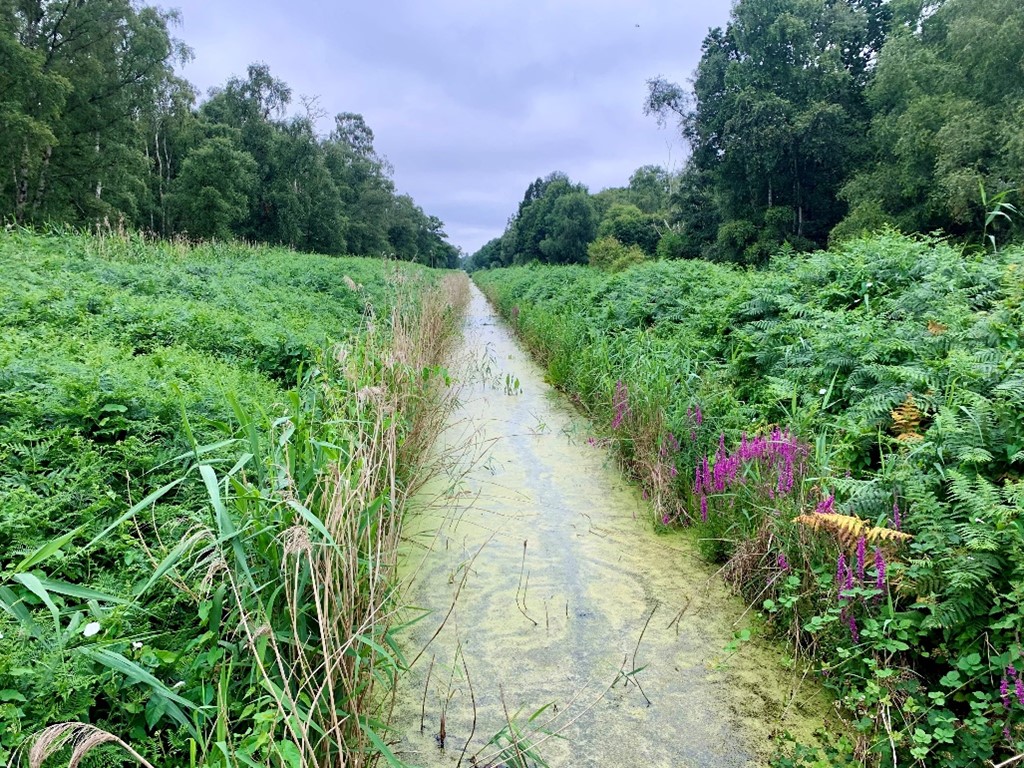 StructureStructure — peatlandWorked wood noted during field survey in 1989 (pers. comm. B. Raftery). The evidence is insufficient to warrant…
 StructureStructure — peatlandWorked wood noted during field survey in 1989 (pers. comm. B. Raftery). The evidence is insufficient to warrant…
 Structure in KilmahonStructureKilmahon holds a vanished beehive cell on a sunny slope, perhaps belonging to St Modan. McNamee traced its slightest…
 Structure in ClontumpherStructureSituated on a SW-facing slope, close to the base of a drumlin ridge. Most of the field comprises well-drained pasture.…
 St. Patricks WellHoly wellSt. Patricks Well sits on wet low-lying ground in County Longford, Ireland, enclosed by a low circular drystone wall.…
 St. Patricks WellHoly wellSt. Patricks Well sits on a SE-facing slope in County Longford, marked by a low drystone wall and a chained drinking…
 St. Barrys WellHoly wellSt. Barrys Well is a small triangular hollow on rough low-lying ground in County Longford, Ireland, where water once…
 Sonnagh fortArchaeological placeSonnagh fort is a large bivallate ringfort in County Longford, Ireland, dated to the Bronze or Iron Age. Its double…
 Site of Old Town of GranardSettlement deserted — medievalHalf a mile from the new town, the old town still breathes under grass. Sheep walk across its streets, their hooves…
 Site of Kers GraveMegalithic tombKer's Grave was a fifteen-foot megalithic tomb in Longford pastureland, recorded by O'Donovan in 1837 and already…
 Sheela-na-gig in AbbeylaraSheela-na-gigAbbeylara is a Cistercian abbey in County Longford, Ireland. Its crossing-tower still stands, and a small sandstone…
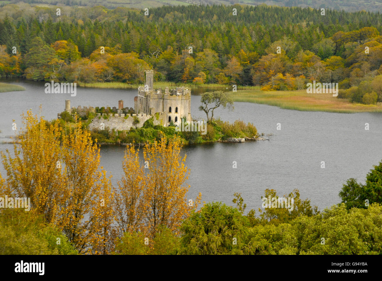 Sallow IslandCrannogSallow Island is a crannog in County Longford, Ireland. It is a made island in Lough Forbes, built of packed stone and…
 Round IslandCrannogRound Island is a submerged crannog in Currygrane Lough, County Longford, where most of its oval structure lies beneath…