
What is recorded here
In grassland, overlooking the River Inny immediately to S. Cultivation ridges running NE-SW enclosed by a low earthen bank forming a large irregular-shaped field (diam. c. 214m N-S x 226m E-W) is clearly visible on Google Earth orthoimages and on Digital Globe orthophoto taken between 2011-13.
See attached Google Earth orthophoto
Compiled by: Caimin O'Brien based on details provided by Jean-Charles Caillère
Date of upload: 12 July 2022
The monument record does not grant public access. Check the route and ask the landowner before entering private land.
- What survives
- Recorded monument
Places near here
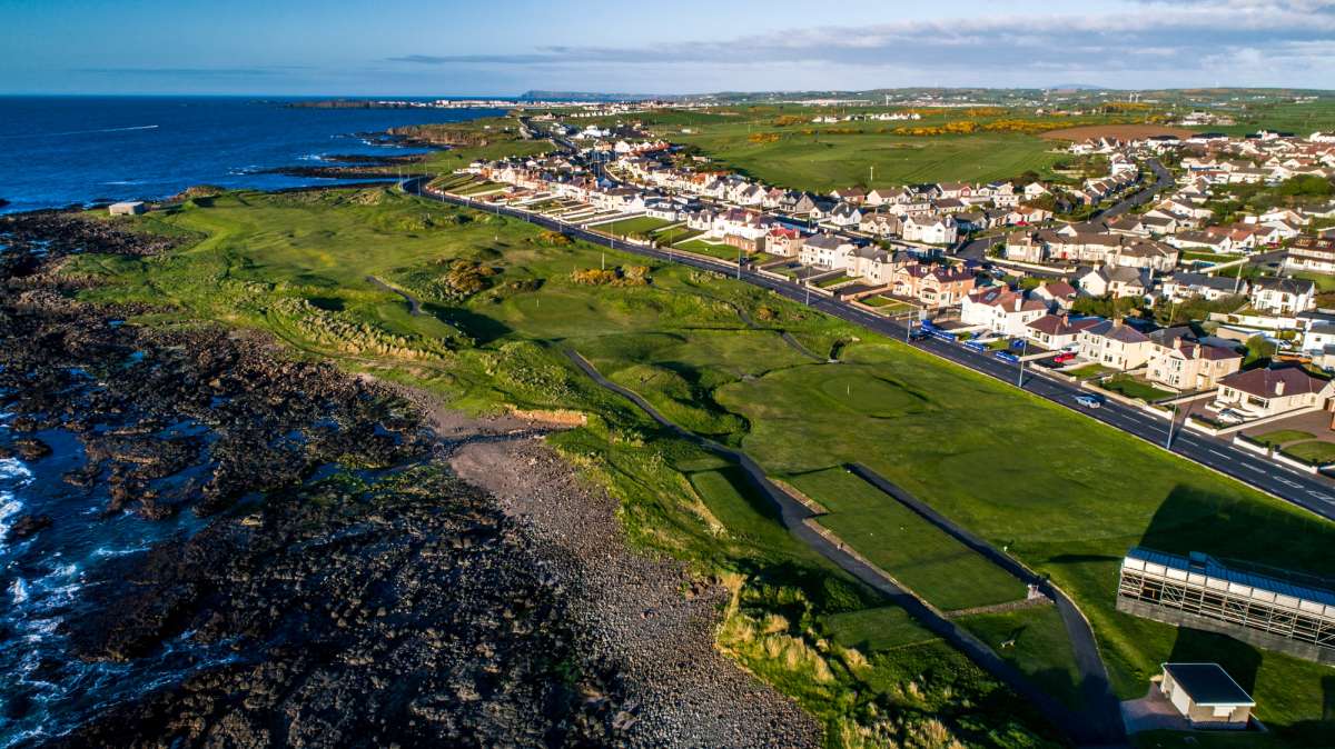 Fulacht fia in Rathmore (shrule By.)Fulacht fia · 439 yd
 Enclosure in Rathmore (shrule By.)Enclosure · 1013 yd
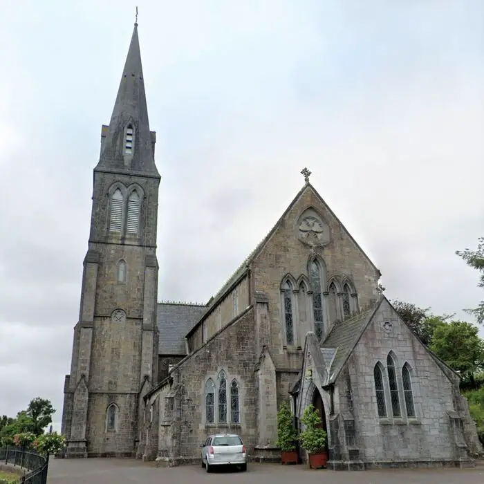 Church in Glebe (rathcline By., Shrule Ed) (detached Portion)Church · 1143 yd
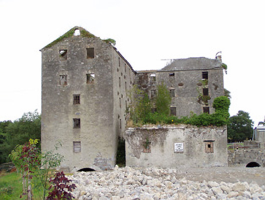 Shrule Millsmill (water) · 1144 yd
 CastleCastle, motte · 1160 yd
 European BeechEuropean Beech · 1353 yd
 Ballymulvey Ho.Castle, unclassified · 1.5 mi
 Noughaval CemeteryArchaeological place · 2.2 mi
 Corlea Bog Walk Canal BranchWalking route · 4.4 mi
 Corlea Trackway Interpretative CentreHeritage attraction · 4.6 mi
 Leveret IslandIslet · 4.7 mi
 Corlea Bog Walk Blue LoopWalking route · 5.0 mi
Other information
Photo: Credit not shown in the picture search · Rights wording not checked; contact us if this picture should be removed