What is recorded here
Associated with the 18th-century (C of I) church (LF027-003001-) within its W half. This irregularly shaped graveyard (58m ENE-WSW; 32m NNW-SSE) is enclosed by a stone wall. Access is via a wrought-iron gate in the centre of the SW wall, where the graveyard is bounded by the street. Decipherable memorial inscriptions date from the 19th and 20th centuries.
Compiled by: Caimin O'Brien and Olive Alcock
Date of upload: 4 June 2013
A local ancient tomb; wider significance not recorded.
The monument record does not grant public access. Check the route and ask the landowner before entering private land.
- What survives
- Recorded monument
Places near here
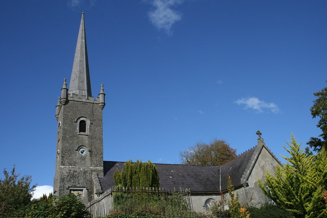 Saint Catherine's Church (Shrule-Noughaval)church/chapel · 5 yd
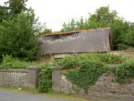 Ballymahon Masonic Hallmasonic lodge/hall · 38 yd
 Ballymulvey Ho.Castle, unclassified · 1163 yd
 Cultivation ridges in CastlecoreCultivation ridges · 1582 yd
 Burial in Creevagh BegBurial · 1584 yd
 CastleCastle, motte · 1.3 mi
 European BeechEuropean Beech · 1.4 mi
 Newcastle WoodsForest · 1.6 mi
 Target WoodWood · 1.6 mi
 Noughaval CemeteryArchaeological place · 2.7 mi
 Corlea Bog Walk Canal BranchWalking route · 4.6 mi
 Corlea Trackway Interpretative CentreHeritage attraction · 4.8 mi