What is recorded here
Fairy fort / earthen ringfort in Ballybranigan stands close to the base of the SW-facing slope of a ridge in County Longford, Ireland. A subrectangular raised area, about 48m E-W and 40m N-S, is enclosed by a low bank of earth and stone, defined by a scarp 0.5-0.7m high. A shallow external fosse, 1.2m wide and 0.2m deep, is evident at NW. The monument is cut by a field boundary at WSW and N, and the original entrance is not recognisable.
Close to the base of the SW-facing slope of a ridge. A report in 1976 (SMR file) indicated that this subrectangular raised area (c. 48m E-W; c. 40m N-S) was enclosed by a low bank of earth and stone. It is defined by a scarp (H 0.5-0.7m). A shallow external fosse (Wth 1.2m; D 0.2m) is evident at NW. The monument is cut by a field boundary at WSW and N. The original entrance is not recognisable.
Compiled by: Patrick F. O'Donovan
Date of upload: 26 August 2011
The monument record does not grant public access. Check the route and ask the landowner before entering private land.
- What survives
- Recorded monument
Places near here
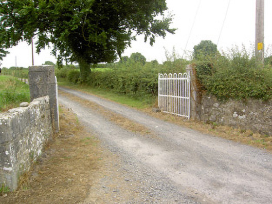 gates/railings/wallsgates/railings/walls · 300 yd
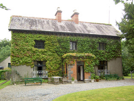 Antely Househouse · 387 yd
 Ballymulvey Ho.Castle, unclassified · 1433 yd
 Enclosure in Barry (shrule By., Ballymahon Ed)Enclosure · 1.1 mi
 Indicated FortFairy fort / earthen ringfort · 1.2 mi
 Newcastle WoodsForest · 1.5 mi
 CastleCastle, motte · 1.5 mi
 Target WoodWood · 1.6 mi
 European BeechEuropean Beech · 2.0 mi
 Noughaval CemeteryArchaeological place · 3.4 mi
 Corlea Bog Walk Canal BranchWalking route · 4.2 mi
 Corlea Trackway Interpretative CentreHeritage attraction · 4.4 mi