
What is recorded here
At the base of a SW-facing slope in low-lying pasture. A circular area (diam. c. 18m) defined by a poorly preserved scarp (H 0.4m). A report in 1976 (SMR file) recorded a narrow, shallow, intervening fosse and an outer bank, both of which have since been levelled. The original entrance is not recognisable.
Compiled by: Patrick F. O'Donovan
Date of upload: 23 January 2012
The monument record does not grant public access. Check the route and ask the landowner before entering private land.
- What survives
- Recorded monument
Places near here
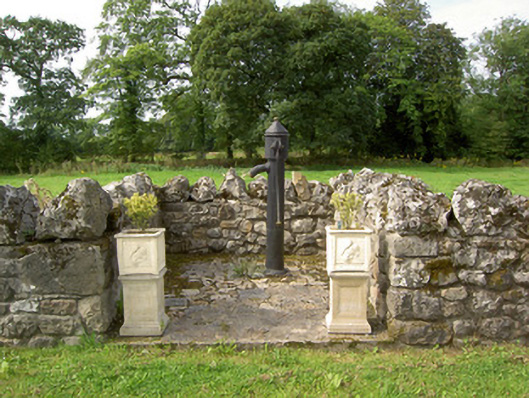 water pumpwater pump · 904 yd
 Indicated FortFairy fort / earthen ringfort · 951 yd
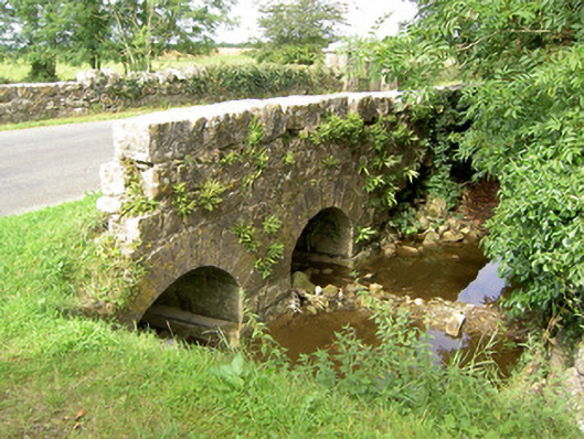 bridgebridge · 964 yd
 Barry CastleCastle, unclassified · 1093 yd
 Bawn in TirlickeenBawn · 1.2 mi
 Tober PatrickHoly well · 1.6 mi
 Newcastle WoodsForest · 2.0 mi
 Target WoodWood · 2.3 mi
 European BeechEuropean Beech · 3.0 mi
 Corlea Bog Walk Canal BranchWalking route · 3.6 mi
 Corlea Trackway Interpretative CentreHeritage attraction · 3.8 mi
 Corlea Bog Walk Blue LoopWalking route · 4.2 mi
Other information
Photo: Credit not shown in the picture search · Rights wording not checked; contact us if this picture should be removed