
What is recorded here
On the highest point of the ridge affording panoramic views over the surrounding countryside; within the NE quadrant of a possible moated site (LF023-076001-). In 1401 the annals record that the ‘castle of Barrcha was being built by Cathal son of Tomás Ó Fearghail, and the castle of Baile Í Mhathan [see LF027-003004-] was begun by Muiris son of Conchobhar ’[Ó Fearghail] (Ó hInnse 1947, 164). The latter family demolished Cathal’s castle two years later in 1403 but he rebuilt it in 1405 (ibid., 171, 175). In 1424 the castle was involved in a feud between two branches of the descendants of Murchad O Fergail when a ‘Great war among the posterity of Murchad O Fergail’ broke out (Ann. Conn., 469). In the same year it was recorded that ‘Barry Castle was demolished by the Justiciar’ (ibid.). In 1518 the ninth earl of Kildare received rent from ‘Kedagh mc Lyshe mic Kyady mic Thomas’ Ó Fearghail, the owner of Barry castle, the sum of £20 13s. 4d. (Mac Niocaill 1992, 274; Farrell 2010, 123). In 1621 Gerald McRory Farrall received a land grant including the ‘castle and lands of Barry and Bunuvalla alias Cartrondrome and a watermill [LF023-126----] … and a fishing wear [LF023-136----] on the river Enny’ (Cal. pat. rolls 19 Jas. 1, 533). On the Down Survey (1655–6) map of Abbeyshrule parish (NLI, MS 719) it is depicted as the ‘Old Castle’ and the mill is located to its S.
All that survives of the castle is a grassed-over mound (c. 19m N–S; c. 15m E–W; H 2m) of collapsed rubble, which obscures its original plan. However, some traces of the external stone facing of the N wall survive, where two courses of the wall are still visible. No other architectural features are apparent. Several gaps in the rubble are the result of quarrying.
Compiled by: Caimin O'Brien
Date of upload: 2 October 2012
Barry Castle was likely built by the Barry family, an influential Norman dynasty in Ireland, during the 13th or 14th century. It is remembered for its strategic position and as a site noted in historical annals, reflecting the family's role in the medieval landscape of the region.
The monument record does not grant public access. Check the route and ask the landowner before entering private land.
- What survives
- Recorded monument
Places near here
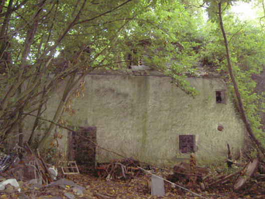 mill (water)mill (water) · 270 yd
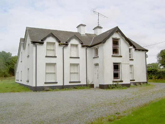 Barry Househouse · 275 yd
 Enclosure in Barry (shrule By., Ballymahon Ed)Enclosure · 1093 yd
 Indicated FortFairy fort / earthen ringfort · 1435 yd
 Bawn in TirlickeenBawn · 1.5 mi
 Mornin Castle (in Ruins)Castle, tower house · 1.8 mi
 Newcastle WoodsForest · 2.5 mi
 Corlea Bog Walk Canal BranchWalking route · 3.4 mi
 European BeechEuropean Beech · 3.6 mi
 Corlea Trackway Interpretative CentreHeritage attraction · 3.7 mi
 Corlea Bog Walk Blue LoopWalking route · 4.0 mi
 Leveret IslandIslet · 6.7 mi
Other information
Photo: Credit not shown in the picture search · Rights wording not checked; contact us if this picture should be removed