What is recorded here
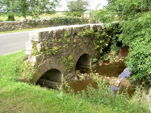
Bridge in Barry (shrule by.) gave the stream and the millrace an arch each: one for water going about its business, one for water with a job. The corn mill is ruined now, so both are just passing through, denying they ever worked there.
Double-arch road bridge over river and former millrace associated with derelict corn mill to the north (13314007), built c. 1800. Built of roughly coursed limestone construction, having cut limestone voussoirs to round-headed arches and concrete cutwater to southwest elevation. Parapet wall to the northeast corner now partially collapsed. Located to the west of Barry.
This simple but attractive road bridge exhibits fine craftsmanship and spans a small stream and millrace associated with a ruinous corn mill (13314007) located to the north. It was probably originally constructed during the late-eighteenth or early-nineteenth century, a period which saw a great deal of bridge building in Ireland, particularly by the Grand Juries (the forerunners of the County Councils). This bridge and the mill buildings to the north form a pleasant feature in the landscape, together they form an interesting part of the architectural heritage of the village of Barry.
From the Buildings of Ireland (National Inventory of Architectural Heritage) record 13314008
This does not grant access. Most recorded buildings are privately owned; view them only from public ground unless the owner allows entry.
Places near here
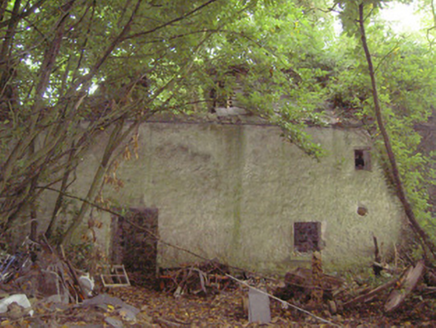 mill (water)72 yd
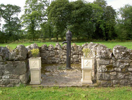 water pump82 yd
 Corlea Trackway Interpretative CentreHeritage attraction · 3.5 mi
 European Beech3.5 mi
 Bawn in CastlereaBawn · 4.3 mi
 Leveret IslandIslet · 6.5 mi
 Ecclesiastical enclosure in InchbofinEcclesiastical enclosure · 7.3 mi
 InchbofinIslet · 7.5 mi
 RindoonWood · 10 mi
 Safe HarbourBay · 10 mi
 Rindown CastleCastle, Anglo-Norman masonry castle · 10 mi
 Historic town in Warren,rinnaganHistoric town · 10 mi
Pictures: National Inventory of Architectural Heritage; Sheila1988, Wikimedia Commons · CC BY-SA 4.0; Malene Thyssen, Wikimedia Commons · CC BY-SA 3.0; Mike Searle, Geograph · CC BY-SA 2.0; David Baird, Geograph · CC BY-SA 2.0; Sailko, Wikimedia Commons · CC BY 3.0; David Baird, Wikimedia Commons · CC BY-SA 2.0; Christopher Hilton, Wikimedia Commons · CC BY-SA 2.0; Arno-nl, Wikimedia Commons · CC BY-SA 4.0; Kieran Campbell, Geograph · CC BY-SA 2.0
More historic places in County Longford · All of County Longford
What do you know about this place?