What is recorded here
On the N bank of the Inny River and associated with an unclassified castle (LF027-046----) that was subsequently incorporated into Ballymulvey House, an 18th-century house now in ruins. Impressive earthworks relating to the landscaping of the demesne are visible in the fields around the house. The majority of these appear to be post-AD 1700 in date. However, the large sunken terrace to the SE of the house may be the remains of a fish-pond (LF027-046001-) of possible 17th/18th-century date and the sunken platforms/terraces visible on an aerial photograph (SMR file) to the NE of it may be associated with medieval or 17th-century gardens. There are numerous other landscaped earthworks, including a raised road and what appear to be linear canals that may also be post-AD 1700 in date but some may be associated with the castle.
Compiled by: Caimin O'Brien
Date of upload: 26 February 2013
The monument record does not grant public access. Check the route and ask the landowner before entering private land.
- What survives
- Recorded monument
Places near here
 Ballymulvey Ho.Castle, unclassified · 97 yd
 Field system in ClooncallowField system · 767 yd
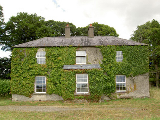 Creevaghbeg Househouse · 926 yd
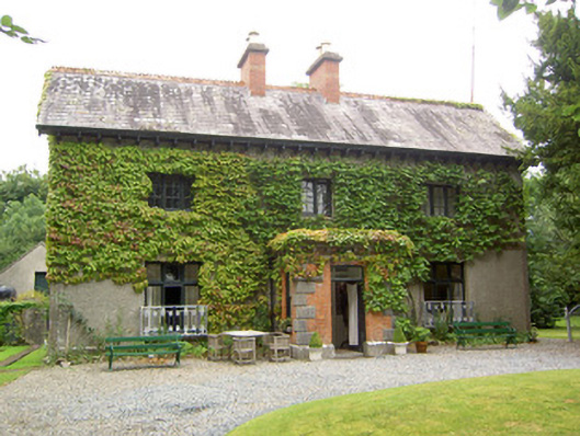 Antely Househouse · 976 yd
 Enclosure in Cloonkeen (rathcline By.)Enclosure · 1428 yd
 Newcastle WoodsForest · 1672 yd
 Target WoodWood · 1738 yd
 Guest ServicesVisitor information · 1.7 mi
 Goldsmith Birthplace, PallasVisitor information · 1.7 mi
 Craft WorkshopHeritage attraction · 1.7 mi
 European BeechEuropean Beech · 1.9 mi
 CastleCastle, motte · 1.9 mi