What is recorded here
On a low rise in pasture. Depicted as a subrectangular enclosure with the designation 'Fort' on the 1837 ed. of the OS 6-inch map. A raised rectangular area (28.2m NW-SE; 25.5m NE-SW) defined by the basal portions of a collapsed stone wall (Wth 0.75m; H 0.2m). A break (Wth 4m) in the wall at ESE is probably not original.
Compiled by: Patrick F. O'Donovan
Date of upload: 26 August 2011
The monument record does not grant public access. Check the route and ask the landowner before entering private land.
- What survives
- Recorded monument
Places near here
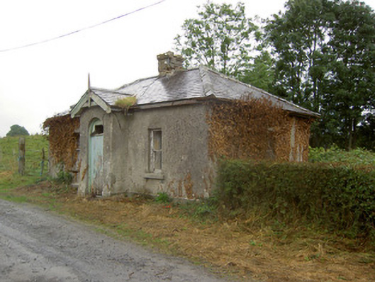 Cartron Housegate lodge · 418 yd
 IndicatedFairy fort / earthen ringfort · 611 yd
 Burial in Creevagh BegBurial · 648 yd
 European BeechEuropean Beech · 856 yd
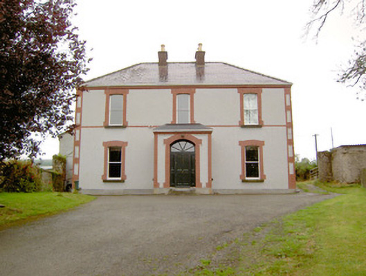 Rathmore Househouse · 1062 yd
 Ballymulvey Ho.Castle, unclassified · 1.5 mi
 CastleCastle, motte · 1.5 mi
 Noughaval CemeteryArchaeological place · 1.7 mi
 Target WoodWood · 2.2 mi
 Newcastle WoodsForest · 2.3 mi
 Guest ServicesVisitor information · 2.6 mi
 Craft WorkshopHeritage attraction · 2.7 mi