
What is recorded here
In the S part of Currygrane Lough. This oval, low-cairn crannog (17.2m N–S; 10.45m E–W) rises 1.5m above the sandy and muddy lake-bed. Most of it is submerged and is overgrown with trees and shrubs. The only part above the water is a half-moon-shaped mound (10m E–W; 4m N–S; H 0.45m) located off-centre to the S. It is composed of gravel and small stones. Around this mound the crannog seems to slope gradually underwater from a depth of 0.5–2m. Its edges were difficult to distinguish. Another crannog (LF009-034----) lies c. 175m to the NE.
Compiled by: Christina Fredengren
Date of upload: 13 January 2013
The monument record does not grant public access. Check the route and ask the landowner before entering private land.
- What survives
- Recorded monument
Places near here
 Frys IslandCrannog · 192 yd
 IndicatedFairy fort / earthen ringfort · 553 yd
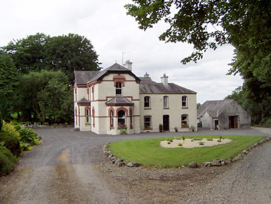 Corbeagh Househouse · 629 yd
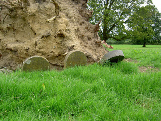 Currygrane Housepet cemetery · 1301 yd
 Moat & CastleCastle, motte and bailey · 1.5 mi
 Ballinalee Forest WalkForest · 1.6 mi
 Bawn in CurrycahillBawn · 2.0 mi
 Bully's Acregraveyard/cemetery, unknown · 2.0 mi
 Clonfin Ambush MemorialMemorial · 2.4 mi
 Cloonfin WoodForest · 2.7 mi
 Edgeworthstown BypassMemorial · 4.1 mi
 Granard MotteMotte-and-bailey castle remains · 6.0 mi
Other information
Photo: Credit not shown in the picture search · Rights wording not checked; contact us if this picture should be removed