What is recorded here
Fairy fort in Lissameen, County Longford: a 41m oval of raised earth on a low rise in flat, damp pasture. Two banks and two ditches once enclosed it, but the outer ones have been levelled and the entrance has vanished. What remains is a scarp and shallow fosse, enough to suggest that people shaped the land before forgetting what they built.
On a low rise in otherwise level, poorly drained pasture. A report in 1976 (SMR file) indicates that this raised oval area (41m N-S; 36m E-W) was enclosed by two low banks of earth and stone and two fosses. It is defined by a scarp (H 1-1.3m) at the base of which is a shallow fosse (Wth 5m; D 0.4-0.6m). The outer bank and outer fosse have since been levelled. The original entrance is not recognisable.
Compiled by: Patrick F. O'Donovan
Date of upload: 16 January 2012
The monument record does not grant public access. Check the route and ask the landowner before entering private land.
- What survives
- Recorded monument
Places near here
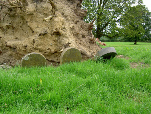 Currygrane Housepet cemetery · 1132 yd
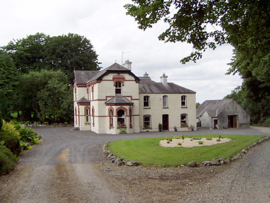 Corbeagh Househouse · 1237 yd
 Round IslandCrannog · 1307 yd
 Frys IslandCrannog · 1476 yd
 Moat & CastleCastle, motte and bailey · 1.5 mi
 Ballinalee Forest WalkForest · 1.6 mi
 Bawn in CurrycahillBawn · 1.8 mi
 Bully's Acregraveyard/cemetery, unknown · 2.0 mi
 Clonfin Ambush MemorialMemorial · 3.2 mi
 Cloonfin WoodForest · 3.3 mi
 Edgeworthstown BypassMemorial · 4.3 mi
 Granard MotteMotte-and-bailey castle remains · 6.8 mi