
What is recorded here
Moatfarrell stands at the NE end of a Longford ridge, its steep oval motte rising nine metres above a deep rock-cut fosse and wide external bank. Tradition holds the site as the inauguration place of the O'Farralls before their split c. 1516, after which the O'Farralls (Buí) of S Annaly may have continued using it for assembly. The summit still carries a trigonometrical station and the grass-covered remains of a collapsed stone building, perhaps an O'Farrell castle, while a large bailey stretches south-west from the base.
At the NE end of a low, prominent, NE-SW running ridge with commanding views in all directions. In the late 1970s traces of a possible stone kerb were identified running around the base of the motte on the W side (Manning 1976, 162). Its presence suggests the motte may incorporate the site of a prehistoric burial mound, which was refortified by the Anglo-Normans (Fitzpatrick 2004, 94). The monument is traditionally held to be the inauguration place (LF014-050001-) of the O'Farralls, prior to their split into two factions c. 1516. After this date the O'Farralls (Buí) of S Annaly may have continued to use it for inauguration and assembly purposes (ibid., 65–6).
The motte is an oval-shaped, high, steep-sided flat-topped mound of earth and stone (H c. 9m; dims. at base c. 34m NW-SE; c. 30m NE-SW). Upon its summit (19.6m NW-SE; 11.6m NE-SW) are an OS trigonometrical station and the grass-covered remains of a collapsed stone building, which may be the remains of a possible O’Farrell castle (LF014-050002-). The motte has been quarried into at SW. From W-NW-NNW it is encircled by a partially rock-cut, wide, deep fosse (Wth 5.7m; D 1.2m) with a very wide, very high external bank of earth and stone (Wth 20.6m; H 7m), which utilises the natural slope of the hill. Adjoining the motte from SSW-SW-W is a large subrectangular bailey (52.3m NE-SW; 31m NW-SE) defined by a bank, now reduced to a scarp (H 0.9 1.4m), with traces of an external fosse. There is evidence of a possible entrance gap in the centre of the bank along the W side. There is no dividing fosse between the motte and the bailey. The remains of a series of small fields with evidence of ridge and furrow cultivation, of unkown date, are visible in the field to the SSE. A ringfort (LF014-120----) lies c. 130m to the N, a moated site (LF014-051----) c. 380m to the E, and a church (LF014-058001-) and graveyard (LF014-058002-) c. 750m to the SSE.
Compiled by: Caimin O'Brien
Date of upload: 28 March 2012
The monument record does not grant public access. Check the route and ask the landowner before entering private land.
- What survives
- Recorded monument
Places near here
 Field system in MoatfarrellField system · 48 yd
 IndicatedBawn · 67 yd
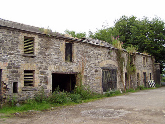 Moatfarrell Houseoutbuilding · 286 yd
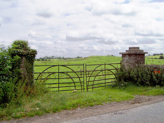 gates/railings/wallsgates/railings/walls · 408 yd
 Ecclesiastical enclosure in MoatfarrellEcclesiastical enclosure · 835 yd
 CastleCastle, ringwork · 1581 yd
 Edgeworthstown BypassMemorial · 2.8 mi
 Ballinalee Forest WalkForest · 3.1 mi
 Oldtown DemesneForest · 3.1 mi
 Clonfin Ambush MemorialMemorial · 3.3 mi
 Bully's Acregraveyard/cemetery, unknown · 3.4 mi
 Granard MotteMotte-and-bailey castle remains · 6.7 mi
Other information
Photo: Credit not shown in the picture search · Rights wording not checked; contact us if this picture should be removed