
What is recorded here
Possibly associated with the castle (LF014-050002-) c. 60m to the SW. This NW-SE running field wall (H c. 0.7m; L c. 160m) with two polygonal spear-like projecting towers (ext. dims. c. 11m N-S; c. 11m E-W) at its NW and SE ends, as indicated on the revised 1911 edition of the OS 6-inch map, may be the remains of the NE wall of a bawn. The wall is now overgrown with a hedgerow. The interior of the projecting features is filled with soil making examination impossible. No other trace of the bawn survives but it most likely was rectangular in plan with corresponding towers at the S and W angles. The hedgerow boundary extending off the SE angle of the wall, and running NNE-SSW, may mirror the line of its SE wall. Alternatively, the survivivng wall may be part of a large walled garden associated with Moatfarrell House that lies c. 340m to its WSW.
Compiled by: Caimin O'Brien
Date of upload: 12 December 2012
A local castle; wider significance not recorded.
The monument record does not grant public access. Check the route and ask the landowner before entering private land.
- What survives
- Recorded monument
Places near here
 Field system in MoatfarrellField system · 20 yd
 Moat & CastleCastle, motte and bailey · 67 yd
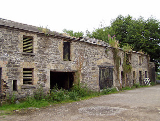 Moatfarrell Houseoutbuilding · 265 yd
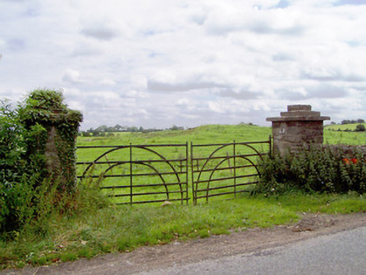 gates/railings/wallsgates/railings/walls · 474 yd
 Ecclesiastical enclosure in MoatfarrellEcclesiastical enclosure · 768 yd
 CastleCastle, ringwork · 1519 yd
 Edgeworthstown BypassMemorial · 2.8 mi
 Oldtown DemesneForest · 3.1 mi
 Ballinalee Forest WalkForest · 3.1 mi
 Clonfin Ambush MemorialMemorial · 3.3 mi
 Bully's Acregraveyard/cemetery, unknown · 3.5 mi
 Granard MotteMotte-and-bailey castle remains · 6.7 mi
Other information
Photo: Credit not shown in the picture search · Rights wording not checked; contact us if this picture should be removed