
What is recorded here
Associated with a fortified house (LF009-022003-). Depicted as a square enclosure or bawn, surrounding the house, on the Down Survey (1655-6) map of Clonbroney parish (NLI, MS 719). No visible surface trace survives. A rectangular field (c. 40m WNW-ESE; c. 30m NNE-SSW) shown on the 1837 edition of the OS 6-inch map may mirror its outline. Only the N and E sides of this field, which mark the townland boundary, survive. A short section of walling evident on the N side, again, may mirror the line of the bawn wall.
Compiled by: Caimin O'Brien
Date of upload: 20 September 2012
Bawn in Currycahill was a defensive enclosure associated with a fortified house, depicted on the 1655–56 Down Survey map. It is remembered as an example of 17th-century Irish defensive architecture, though no physical remains survive today.
The monument record does not grant public access. Check the route and ask the landowner before entering private land.
- What survives
- Recorded monument
Places near here
 Cultivation ridges in Ballinalee OR SaintjohnstownCultivation ridges · 42 yd
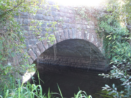 Soran Bridgebridge · 299 yd
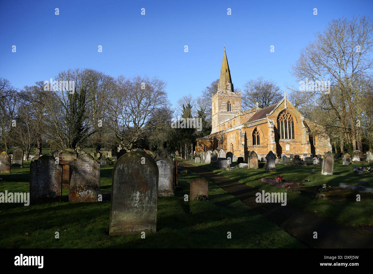 Grave YardBurial ground · 430 yd
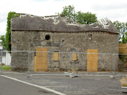 Ballinalee Masonic Hallmasonic lodge/hall · 433 yd
 Bully's Acregraveyard/cemetery, unknown · 462 yd
 Ballinalee Forest WalkForest · 814 yd
 Cloonfin WoodForest · 2.8 mi
 Moat & CastleCastle, motte and bailey · 3.3 mi
 Clonfin Ambush MemorialMemorial · 3.3 mi
 BawnBawn · 3.8 mi
 InchmoreIslet · 5.2 mi
 Granard MotteMotte-and-bailey castle remains · 6.7 mi
Other information
Photo: Credit not shown in the picture search · Rights wording not checked; contact us if this picture should be removed