What is recorded here
Spanning the Camlin River. Depicted on the Down Survey (1655-6) parish map of Clonbroney (NLI, MS 719). No visible surface trace survives but 'Soran Bridge' may have been built on or close to its site. This single-arch bridge dates from c. 1860. It replaced the earlier bridge that is shown on the 1837 ed. of the OS 6-inch map and it is likely that it incorporates some of the fabric of that bridge (www.buildingsofireland.ie, Reg. 13304020, last accessed 26 March 2012).
Compiled by: Caimin O'Brien
Date of upload: 30 July 2013
The monument record does not grant public access. Check the route and ask the landowner before entering private land.
- What survives
- Recorded monument
Places near here
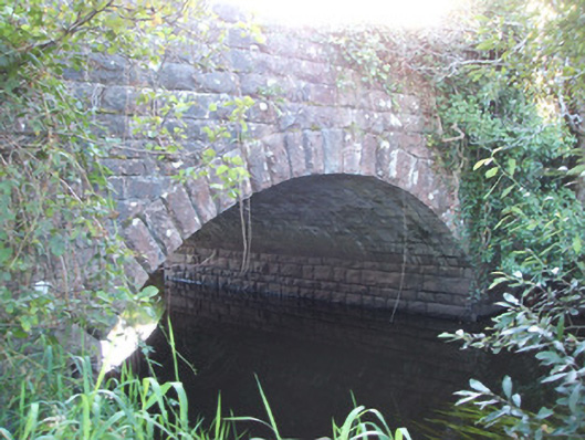 Soran Bridgebridge · 2 yd
 Bawn in CurrycahillBawn · 297 yd
 Cultivation ridges in Ballinalee OR SaintjohnstownCultivation ridges · 319 yd
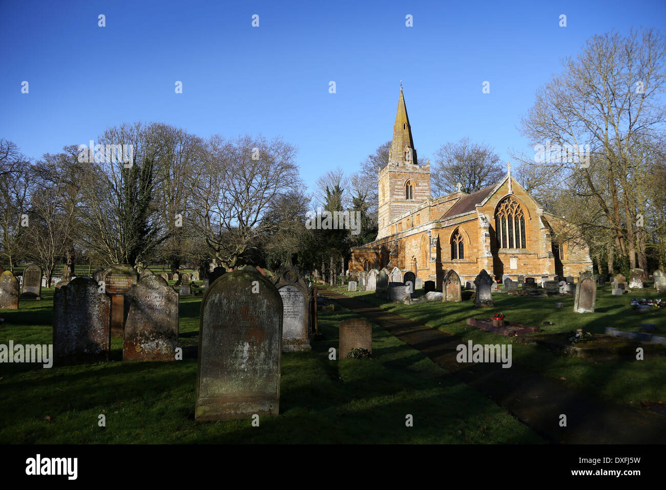 Grave YardBurial ground · 574 yd
 Bully's Acregraveyard/cemetery, unknown · 587 yd
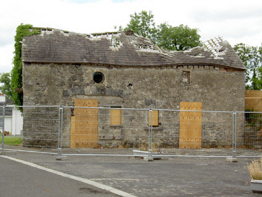 Ballinalee Masonic Hallmasonic lodge/hall · 592 yd
 Ballinalee Forest WalkForest · 1089 yd
 Cloonfin WoodForest · 2.9 mi
 Clonfin Ambush MemorialMemorial · 3.5 mi
 Moat & CastleCastle, motte and bailey · 3.5 mi
 InchmoreIslet · 5.2 mi
 Granard MotteMotte-and-bailey castle remains · 6.8 mi