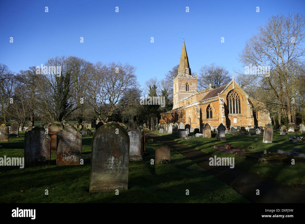
What is recorded here
On top of a low hill, on the W side of Ballinalee or Saint Johnstown village (LF009-023----). Named 'Grave Yard' on the 1837 ed. of the OS 6-inch map and 'Bullys Acre Grave Yard (Disused)' on the 1911 OS 25-inch plan, where it is shown planted with coniferous trees. The term 'Bully's Acre' often refers to the burial grounds of insurgents who were hanged in the aftermath of the 1798 rebellion. This subrectangular burial ground (max. dims. c. 72m E-W; c. 32m N-S) is defined by a post-and-wire fence along the N, E and most of the S sides. The E end of the S side is occupied by a farm building. A largely collapsed stone wall (Wth c. 1m; max. H 0.8m) encloses the W side, which is bounded by a laneway. Access is via an entrance in the centre of this wall. Centrally located within the interior is a large, shallow rectangular depression of unknown significance. A considerable number of very low, upright stones presumably mark burials. Only two inscribed memorials were noted. One dates to 1763; the second inscription was incomplete. Trial excavations in 1995 and 1996 (Carroll 1996, 56; 1997, 72), in advance of a residential development immediately to the S of the burial ground, yielded traces of human remains and remnants of post-medieval fences (LF009-023005-). In 1998 a stone structure, comprising four large thin stone slabs forming three sides of a rough box and a capstone (H 1.5m; Wth 1.05m), which did not conform to any known archaeological monument type, was exposed, surveyed and removed (ibid. 2000, 138). Also in 1998 (Higgins 2000, 138) monitoring of the excavation of the sockets for a post-and-wire fence yielded an Irish halfpenny coin of George II dated 1760. Other remains comprised clay pipes and animal bones, some bearing saw or knife marks. These were dated to the late 19th/early 20th centuries (ibid.). (Lennon 2005)
Compiled by: Patrick F. O'Donovan
Date of upload: 21 May 2013
A local ancient tomb; wider significance not recorded.
The monument record does not grant public access. Check the route and ask the landowner before entering private land.
- What survives
- Recorded monument
Places near here
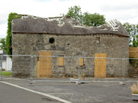 Ballinalee Masonic Hallmasonic lodge/hall · 31 yd
 Bully's Acregraveyard/cemetery, unknown · 44 yd
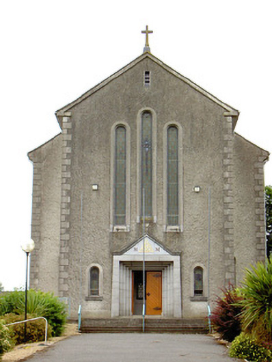 Catholic Church of the Holy Trinitychurch/chapel · 114 yd
 Cultivation ridges in Ballinalee OR SaintjohnstownCultivation ridges · 389 yd
 Bawn in CurrycahillBawn · 430 yd
 Ballinalee Forest WalkForest · 641 yd
 Grave YdGraveyard · 642 yd
 Cloonfin WoodForest · 2.6 mi
 Clonfin Ambush MemorialMemorial · 3.2 mi
 Moat & CastleCastle, motte and bailey · 3.4 mi
 InchmoreIslet · 5.0 mi
 Granard MotteMotte-and-bailey castle remains · 6.5 mi
Other information
Photo: Credit not shown in the picture search · Rights wording not checked; contact us if this picture should be removed