What is recorded here
On partially reclaimed low-lying pasture, to the S of a stream. The name 'Ardneeve' is a corruption of the Irish 'Ard Naomh' or 'Chief Saint', a title usually reserved for St Patrick (ITA Survey 1944). A report in 1976 (SMR file) recorded that the well consisted of a deep, steep-sided, water-filled hollow. It has since been filled in and there are pieces of concrete and boulders in its vicinity. Known locally as a holy well. O'Donovan
Date of upload: 7 June 2013
On partially reclaimed low-lying pasture, to the S of a stream. The name 'Ardneeve' is a corruption of the Irish 'Ard Naomh' or 'Chief Saint', a title usually reserved for St Patrick (ITA Survey 1944). A report in 1976 (SMR file) recorded that the well consisted of a deep, steep-sided, water-filled hollow. It has since been filled in and there are pieces of concrete and boulders in its vicinity. Known locally as…
From the National Monuments Service (Archaeological Survey of Ireland) record LF013-058
The monument record does not grant public access. Check the route and ask the landowner before entering private land.
- What survives
- Recorded monument
Places near here
Photo credits
- National Inventory of Architectural Heritage
- Mike Searle, Geograph · CC BY-SA 2.0
- Kieran Campbell, Geograph · CC BY-SA 2.0
- 瑞丽江的河水, Wikimedia Commons · CC BY-SA 4.0
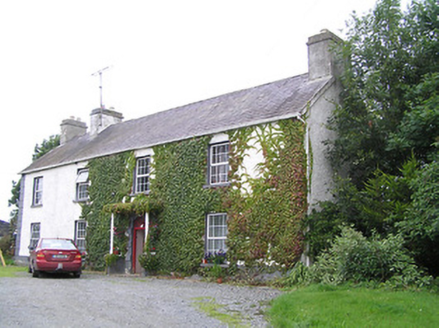 Middleton HouseCountry house · 626 yd
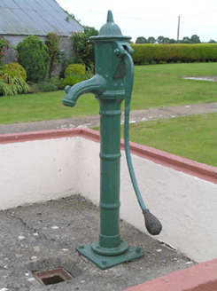 water pump879 ydEcclesiastical enclosure in BallynakillEcclesiastical enclosure · 933 ydGrave YardGraveyard · 1047 ydCommons North WalkVisitor information · 3.8 miGraveyard in Curry (ardagh By., Coolamber Ed)Graveyard · 3.8 miWild birdsVisitor information · 4.0 miWhite Sand WoodWood · 4.4 mi
 Rathcline CastleHouse, fortified house · 4.8 mi
 Rathcline CastleBawn · 4.8 mi
 First World War MemorialMemorial · 5.0 mi
 Saint Mel's CathedralCathedral · 5.2 mi
More archaeology and monuments in County Longford · All of County Longford
What do you know about this place?