What is recorded here
In level pasture. A rectangular graveyard (75m NW-SE; 38m NE-SW) enclosed by a stone wall. Entrance is via a wrought-iron gate with adjacent stile in the centre of the NW wall. In the N half of the graveyard is a Church of Ireland church dedicated to St Catherine which was constructed in 1826. The memorials date from the 19th to the 21st centuries. (Lennon 2005)
Compiled by: Patrick F. O'Donovan
Date of upload: 26 August 2011
In level pasture. A rectangular graveyard (75m NW-SE; 38m NE-SW) enclosed by a stone wall. Entrance is via a wrought-iron gate with adjacent stile in the centre of the NW wall. In the N half of the graveyard is a Church of Ireland church dedicated to St Catherine which was constructed in 1826. The memorials date from the 19th to the 21st centuries. (Lennon 2005) Compiled by: Patrick F. O'Donovan
From the National Monuments Service (Archaeological Survey of Ireland) record LF018-009001
The monument record does not grant public access. Check the route and ask the landowner before entering private land.
- What survives
- Recorded monument
Places near here
Photo credits
- National Inventory of Architectural Heritage
- 瑞丽江的河水, Wikimedia Commons · CC BY-SA 4.0
- Mike Searle, Geograph · CC BY-SA 2.0
- Kieran Campbell, Geograph · CC BY-SA 2.0
- AndreasDelp, Wikimedia Commons · CC BY-SA 4.0
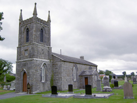 Saint Catherine's Church (Ballymacormick)Church/chapel · 15 yd
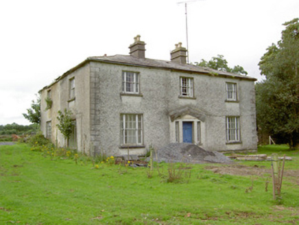 DanesfortHouse · 86 yd
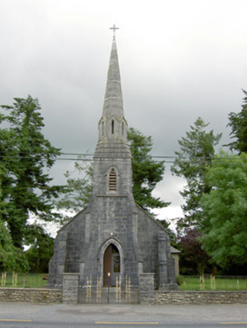 Saint Anne's Catholic ChurchChurch/chapel · 782 yd
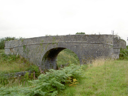 Newtown BridgeBridge · 829 yd
 Cloonturk BridgeBridge · 1099 ydEnclosure in CaldraghmoreEnclosure · 1615 ydStructureStructure, peatland · 1.0 mi
 First World War MemorialMemorial · 2.7 mi
 Saint Mel's CathedralCathedral · 2.9 mi
 Rathcline CastleHouse, fortified house · 7.7 mi
 Rathcline CastleBawn · 7.7 mi
 InchcleraunIsland · 11 mi
More memorials and graveyards in County Longford · All of County Longford
What do you know about this place?