What is recorded here
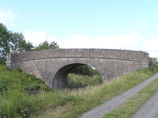
Cloonturk Bridge wears smartly dressed limestone on the outside and rough rubble on the inner walls. It has spent nearly two centuries getting away with the stone equivalent of ironing only the bit of shirt visible above your jumper.
Single-arch humpbacked canal accommodation bridge carrying road over Royal Canal (Longford Branch), built c. 1829. Round/elliptical-headed arch with dressed ashlar limestone voussoirs and dressed limestone masonry to barrel. Dressed limestone spandrel walls with cut limestone string course at road/deck level. Dressed ashlar limestone parapets with curving ends terminated in dressed ashlar limestone piers (on square-plan). Dressed ashlar limestone coping over parapet walls. Rubble stone construction to inner faces of parapet walls, partially rendered. Towpath to west bank of canal. Dressed limestone retaining walls to canal banks (east and west). Located to the southwest of Longford Town.
A typically well-built canal bridge, which is a valuable part of the architectural and industrial heritage of County Longford. Although humble in form, this structure has a simple and functional elegance. It is robustly built in fine stone masonry, which is testament to the long-term ambitions of the Royal Canal Company at the start of the nineteenth century. It was probably built to designs by John Killaly (1766 – 1832), the engineer responsible for the construction of the Royal Canal (Longford Branch), which was surveyed in 1826 and opened in 1830. The main contractors involved were J.J. Byrne and William Tarrent. Although the canal is currently disused, the towpath provides a recreational amenity and this bridge affords interesting views to the pedestrian as well as being a notable feature and landmark in the landscape. This bridge forms part of an extensive collection of canal-related structures in County Longford, and is an integral element of the built heritage of the Cloonturk area.
From the Buildings of Ireland (National Inventory of Architectural Heritage) record 13401343
This does not grant access. Most recorded buildings are privately owned; view them only from public ground unless the owner allows entry.
Places near here
Photo credits
- National Inventory of Architectural Heritage
- 瑞丽江的河水, Wikimedia Commons · CC BY-SA 4.0
- Mike Searle, Geograph · CC BY-SA 2.0
- Kieran Campbell, Geograph · CC BY-SA 2.0
- AndreasDelp, Wikimedia Commons · CC BY-SA 4.0
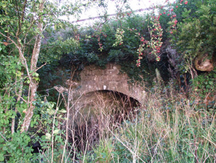 bridge, aqueduct93 yd
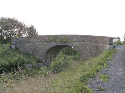 Knockanboy BridgeBridge · 569 yd
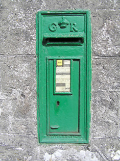 post box894 ydIndicatedFairy fort / earthen ringfort · 1018 yd
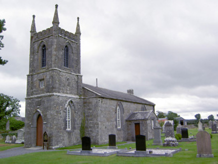 Saint Catherine's Church (Ballymacormick)Church/chapel · 1087 ydGraveyard in Curry (ardagh By., Coolamber Ed)Graveyard · 1099 ydBurnt spread in MullaghavorneenBurnt spread · 1183 yd
 First World War MemorialMemorial · 2.2 mi
 Saint Mel's CathedralCathedral · 2.4 mi
 Rathcline CastleHouse, fortified house · 7.8 mi
 Rathcline CastleBawn · 7.8 mi
 InchcleraunIsland · 11 mi
More historic places in County Longford · All of County Longford
What do you know about this place?