What is recorded here
On a S-facing slope in pasture. Depicted as a D-shaped enclosure with the designation 'Fort' on the 1837 ed. of the OS 6-inch map. A report in 1975 (SMR file) recorded a raised circular area (diam. 45.5m) enclosed by a bank of earth and stone with fragmentary traces of an external fosse. The rath, which is divided into unequal portions by a NW-SE field boundary, has since been levelled. However, the outline of the larger portion, to the SW of the boundary, may still be traced. The NE portion is not visible at ground level. O'Donovan
Date of upload: 18 January 2012
On a S-facing slope in pasture. Depicted as a D-shaped enclosure with the designation 'Fort' on the 1837 ed. of the OS 6-inch map. A report in 1975 (SMR file) recorded a raised circular area (diam. 45.5m) enclosed by a bank of earth and stone with fragmentary traces of an external fosse. The rath, which is divided into unequal portions by a NW-SE field boundary, has since been levelled. However, the outline of…
From the National Monuments Service (Archaeological Survey of Ireland) record LF013-051
The monument record does not grant public access. Check the route and ask the landowner before entering private land.
- What survives
- Recorded monument
Places near here
Photo credits
- National Inventory of Architectural Heritage
- 瑞丽江的河水, Wikimedia Commons · CC BY-SA 4.0
- Mike Searle, Geograph · CC BY-SA 2.0
- Kieran Campbell, Geograph · CC BY-SA 2.0
- AndreasDelp, Wikimedia Commons · CC BY-SA 4.0
Fulacht fia in MullaghavorneenFulacht fia · 322 ydBurnt spread in MullaghavorneenBurnt spread · 330 yd post box501 ydKnockanboy BridgeBridge · 744 ydbridge, aqueduct925 ydCloonturk BridgeBridge · 1018 ydGraveyard in Curry (ardagh By., Coolamber Ed)Graveyard · 1.1 miFirst World War MemorialMemorial · 1.7 miSaint Mel's CathedralCathedral · 1.8 miRathcline CastleHouse, fortified house · 8.4 miRathcline CastleBawn · 8.4 miInchcleraunIsland · 11 mi
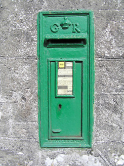 post box501 yd
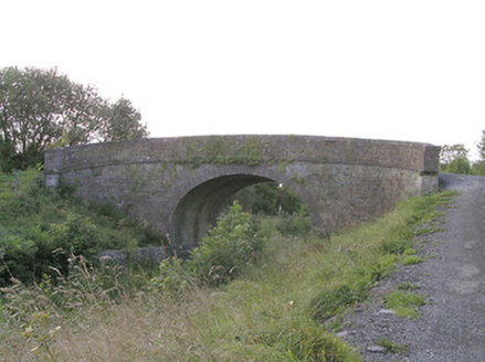 Knockanboy BridgeBridge · 744 yd
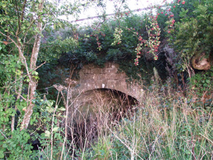 bridge, aqueduct925 yd
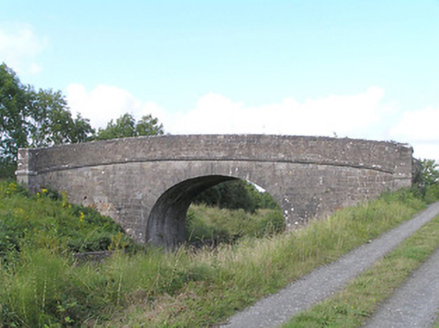 Cloonturk BridgeBridge · 1018 ydGraveyard in Curry (ardagh By., Coolamber Ed)Graveyard · 1.1 mi
 First World War MemorialMemorial · 1.7 mi
 Saint Mel's CathedralCathedral · 1.8 mi
 Rathcline CastleHouse, fortified house · 8.4 mi
 Rathcline CastleBawn · 8.4 mi
 InchcleraunIsland · 11 mi
More archaeology and monuments in County Longford · All of County Longford
What do you know about this place?