What is recorded here
Identified in 2001 during topsoil stripping in advance of an extension to a quarry; subsequent excavation (Site 2) in 2004 revealed thin deposits of charcoal-rich soil (Read 2006b, 321; 2007b, 254).
Compiled by: Patrick F. O'Donovan
Date of upload: 22 November 2011
The monument record does not grant public access. Check the route and ask the landowner before entering private land.
- What survives
- Recorded monument
Places near here
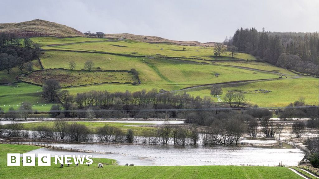 Fulacht fia in MullaghavorneenFulacht fia · 58 yd
 IndicatedFairy fort / earthen ringfort · 330 yd
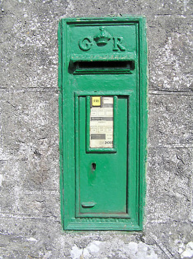 post boxpost box · 830 yd
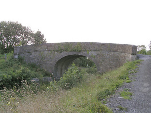 Knockanboy Bridgebridge · 1033 yd
 Graveyard in Curry (ardagh By., Coolamber Ed)Graveyard · 1.1 mi
 First World War MemorialMemorial · 1.7 mi
 Saint Mel's CathedralCathedral · 1.8 mi
 Bawn in AbbeycartronBawn · 2.0 mi
 Bawn Castle & NunneryHouse, fortified house · 2.5 mi
 Commons North WalkVisitor information · 7.7 mi
 Wild birdsVisitor information · 7.9 mi
 White Sand WoodWood · 8.1 mi
Other information
Photo: Credit not shown in the picture search · Rights wording not checked; contact us if this picture should be removed