What is recorded here
A deposit of archaeological wood noted during field survey in 1989 (pers. comm. B. Raftery). The evidence is insufficient to warrant acceptance as the remains of an archaeological monument.
From the National Monuments Service (Archaeological Survey of Ireland) record LF013-107
The monument record does not grant public access. Check the route and ask the landowner before entering private land.
- What survives
- Recorded monument
Places near here
Photo credits
- National Inventory of Architectural Heritage
- 瑞丽江的河水, Wikimedia Commons · CC BY-SA 4.0
- Mike Searle, Geograph · CC BY-SA 2.0
- Kieran Campbell, Geograph · CC BY-SA 2.0
- AndreasDelp, Wikimedia Commons · CC BY-SA 4.0
Enclosure in AghantrahEnclosure · 932 ydStructureStructure, peatland · 1005 yd Newtown BridgeBridge · 1028 ydbridge, aqueduct1260 ydAghantrah BridgeBridge · 1335 ydCloonturk BridgeBridge · 1620 ydGraveyard in Curry (ardagh By., Coolamber Ed)Graveyard · 1.0 miFirst World War MemorialMemorial · 2.9 miSaint Mel's CathedralCathedral · 3.1 miRathcline CastleHouse, fortified house · 6.9 miRathcline CastleBawn · 6.9 miInchcleraunIsland · 10 mi
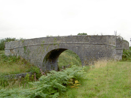 Newtown BridgeBridge · 1028 yd
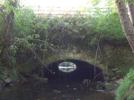 bridge, aqueduct1260 yd
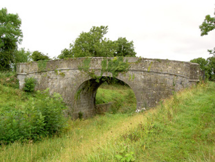 Aghantrah BridgeBridge · 1335 yd
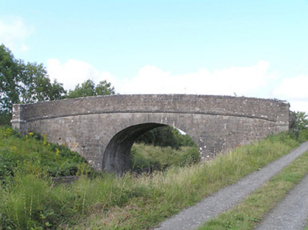 Cloonturk BridgeBridge · 1620 ydGraveyard in Curry (ardagh By., Coolamber Ed)Graveyard · 1.0 mi
 First World War MemorialMemorial · 2.9 mi
 Saint Mel's CathedralCathedral · 3.1 mi
 Rathcline CastleHouse, fortified house · 6.9 mi
 Rathcline CastleBawn · 6.9 mi
 InchcleraunIsland · 10 mi
More archaeology and monuments in County Longford · All of County Longford
What do you know about this place?