What is recorded here
In wet, low-lying pasture immediately S of a NW-flowing stream. Not indicated on the 1837 ed. of the OS 6-inch map. A report in 1976 (SMR file) recorded a largely levelled, raised circular area (diam. c. 20m), which was delimited by a fosse. The original entrance was not recognisable. Further levelling has occurred and the monument is no longer visible at ground level. O'Donovan
Date of upload: 26 August 2011
From the National Monuments Service (Archaeological Survey of Ireland) record LF018-008
The monument record does not grant public access. Check the route and ask the landowner before entering private land.
- What survives
- Recorded monument
Places near here
Photo credits
- National Inventory of Architectural Heritage
- 瑞丽江的河水, Wikimedia Commons · CC BY-SA 4.0
- Mike Searle, Geograph · CC BY-SA 2.0
- Kieran Campbell, Geograph · CC BY-SA 2.0
- AndreasDelp, Wikimedia Commons · CC BY-SA 4.0
- David Baird, Geograph · CC BY-SA 2.0
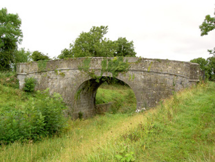 Aghantrah BridgeBridge · 571 yd
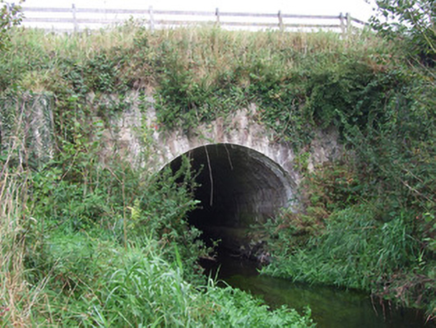 bridge, aqueduct827 yd
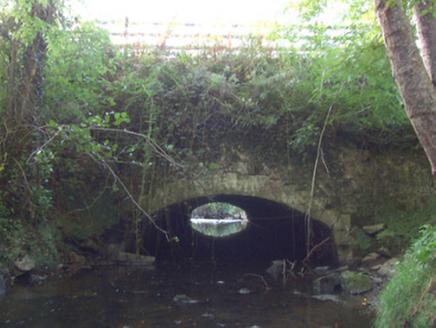 bridge, aqueduct835 ydStructureStructure, peatland · 932 ydEnclosure in SharvogeEnclosure · 1314 ydGraveyard in Curry (ardagh By., Coolamber Ed)Graveyard · 1.2 mi
 First World War MemorialMemorial · 3.4 mi
 Saint Mel's CathedralCathedral · 3.6 mi
 Rathcline CastleHouse, fortified house · 6.5 mi
 Rathcline CastleBawn · 6.6 mi
 InchcleraunIsland · 9.6 mi
 Leveret IslandIslet · 10 mi
More archaeology and monuments in County Longford · All of County Longford
What do you know about this place?