What is recorded here
On a low but prominent rise in pasture. A report in 1975 (SMR file) recorded a large oval area (c. 90m NE-SW; c. 84m NW-SE) enclosed by a low bank of earth and stone with a shallow external fosse. The original entrance was not recognisable. The monument has since been levelled and only its outline is identifiable, albeit with difficulty. O'Donovan
Date of upload: 6 February 2012
From the National Monuments Service (Archaeological Survey of Ireland) record LF013-050
The monument record does not grant public access. Check the route and ask the landowner before entering private land.
- What survives
- Recorded monument
Places near here
Photo credits
- Royalcanalrunner, Wikimedia Commons · CC BY-SA 4.0
- National Inventory of Architectural Heritage
- 瑞丽江的河水, Wikimedia Commons · CC BY-SA 4.0
- Mike Searle, Geograph · CC BY-SA 2.0
- Kieran Campbell, Geograph · CC BY-SA 2.0
- AndreasDelp, Wikimedia Commons · CC BY-SA 4.0
- Alvesgaspar, Wikimedia Commons · CC BY-SA 3.0
- Algirdas at Lithuanian Wikipedia, Wikimedia Commons · Public domain
- AmandaMcCrann, Wikimedia Commons · CC BY-SA 4.0
 Savage BridgeBridge · 984 yd
 44th LockLock · 987 yd
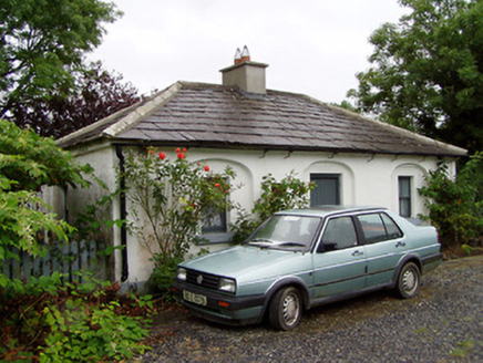 44th LockLock keeper's house · 1003 ydEnclosure in AghantrahEnclosure · 1314 yd
 First World War MemorialMemorial · 3.6 mi
 Saint Mel's CathedralCathedral · 3.7 mi
 Rathcline CastleHouse, fortified house · 6.1 mi
 Rathcline CastleBawn · 6.2 mi
 InchcleraunIsland · 9.5 mi
 Common Lime11 mi
 Pedunculate Oak11 mi
 Cloghogle StonePassage tomb · 14 mi
More archaeology and monuments in County Longford · All of County Longford
What do you know about this place?