
What is recorded here
On the crest of the W-facing slope of a hill with a NNW-SSE ridge extending to the NNW and a low hill rising to the E. This is a rectangular chamber (int. dims 1.65m NNW-SSE; 1.05m ESE-WNW at N to 1.25m at S), each side formed by a single limestone slab (max. H 1.27m), but only the base of the S stone survives. The roof is formed by a single large stone. Archaeological testing (05E0021) c. 50m to the W failed to produce any related material (Delaney 2008a). (Dillon 1883-4, 16-19; Borlase 1897, vol. 1, 198-200; English 1969, 1,2; de Valera and Ó Nualláin 1972, 142)
See the attached images from SE (004) and W (006)
Compiled by: Michael Moore
Date of upload: 24 August 2010
See linked document with details from Ruaidhrí de Valera and Seán Ó Nualláin, Survey of the Megalithic Tombs of Ireland. Volume III. Counties Galway, Roscommon, Leitrim, Longford, Westmeath, Laoighis, Offaly, Kildare, Cavan. (Dublin: Stationery Office, 1972).
Neolithic rectangular chamber tomb; dates to the Early to Middle Neolithic period (c. 3900–3000 BCE). Its construction reflects early megalithic traditions in Ireland, indicating local funerary or ritual practices.
The monument record does not grant public access. Check the route and ask the landowner before entering private land.
- What survives
- Recorded monument
Places near here
 CastleCastle, tower house · 633 yd
 Scregg Housecountry house · 729 yd
 Not inidcatedFairy fort / earthen ringfort · 915 yd
 Embanked enclosureFairy fort / earthen ringfort · 1566 yd
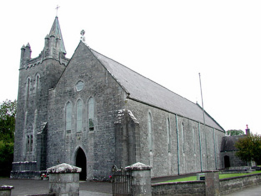 Saint Patrick's Catholic Churchchurch/chapel · 2.0 mi
 Hangman's HillMountain / peak · 2.2 mi
 InchmoreIslet · 2.3 mi
 Castle (Site of)Castle, unclassified · 2.4 mi
 InchihicleleyIslet · 2.7 mi
 Galey BayBay · 3.0 mi
 Ballymurray ForestForest · 3.4 mi
 TogherfinnForest · 3.5 mi
Other information
Photo: AmandaMcCrann · CC BY-SA 4.0