
What is recorded here
Castle, tower house in Scregg (athlone North By.) stands on a rock outcrop pinnacle at the north end of a ridge in County Roscommon, Ireland. Its walls still protrude through a grass-covered cairn, preserving the footprint of a home that may have belonged to the O'Kelly before passing through Dillon hands. The nearby sheela-na-gig carvings, now buried inside a later house, hint that the castle once wore its warnings openly for anyone climbing the ridge.
Traditionally an O'Kelly castle, it may be the Skreen of the O'Kelly genealogies which is first mentioned c. 1470 (O'Donovan 1843, 113-8). The two quarters of Skrigg amounting to 210 acres was owned by Sir Luke Dillon of Loughglinn (RO020-003001-) in 1641, and by the 1660s the smaller portion of 65 acres with the castle was owned by Theobald Dillon, probably connected with Loughglinn while the remainder was owned by the Charles Coote, the first earl of Mountrath (Simington 1949, 118 (311, 312)).
Situated on a rock outcrop pinnacle at the N end of a NW-SE ridge. The foundations of a tower (int. dims 7.85m E-W; 4.5m N-S) defined by walls (at N: T 1.35m; at W: T 2.1m) protruding from a grass-covered cairn (diam. 19m E-W; 18m N-S; H 1m at E to 3.4m at N). There is evidence of embrasures in the W and N walls (int. H 1.5m), and a possible newel stairs at the NE angle. Immediately to the S a small rectangular enclosure (RO042-147002-) (dims c. 15m N-S; 15m E-W) is defined by an earthen bank (Wth 2.2m; int. H 0.6m; ext. H 0.5m) and outer fosse (Wth of base 1.2m; D 0.6m) at S, and the remains of walls (Wth 1-1.2m) at E and W. It may have served as a bawn although it is part of a field system extending down the steep slope to the W. There is a shallow rectangular quarry (RO042-147003-) (dims 15m N-S; 15m E-W; D 0.4-0.8m) SE of the tower house which probably provided the material for the castle. Two sheela-na-gig (RO042-091001-; RO042-091002-), now built into a later structure associated with Scregg House, c. 100m to the N, are thought to have come from the castle.
Compiled by: Michael Moore
Date of revised upload: 19 October 2015
The monument record does not grant public access. Check the route and ask the landowner before entering private land.
- What survives
- Recorded monument
Places near here
 Scregg Housecountry house · 97 yd
 Not inidcatedFairy fort / earthen ringfort · 510 yd
 Cloghogle StonePassage tomb · 633 yd
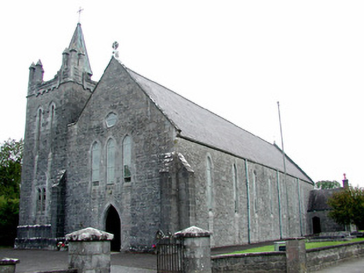 Saint Patrick's Catholic Churchchurch/chapel · 1.6 mi
 Hangman's HillMountain / peak · 1.9 mi
 Galey CastleCastle, tower house · 2.4 mi
 InchmoreIslet · 2.5 mi
 Galey BayBay · 2.6 mi
 Castle (Site of)Castle, unclassified · 2.8 mi
 InchihicleleyIslet · 2.9 mi
 Blackbrink BayBay · 3.2 mi
 Ballymurray ForestForest · 3.3 mi
Other information
Photo: Credit not shown in the picture search · Rights wording not checked; contact us if this picture should be removed