What is recorded here
Associated with a medieval church (LF013-045002-), within a possible ecclesiastical enclosure (LF013-045001-). This irregularly shaped graveyard (64m N-S; 38m E-W) is enclosed by a stone wall. Access is via a wrought-iron gate in the N wall. Memorials date from the 18th to the 21st centuries and a number of architectural fragments from the church have been reused as grave-markers. McNamee (1942a, 18, 20) recorded an uninscribed stone that was believed locally to cover a bishop's grave. It was not located. (McNamee 1940b, 40-41; 1942b, 47-60; ITA Survey 1944; English 1971, 148; Lennon 2005)
Compiled by: Patrick F. O'Donovan, Caimin O'Brien
Date of upload: 4 June 2013
Associated with a medieval church (LF013-045002-), within a possible ecclesiastical enclosure (LF013-045001-). This irregularly shaped graveyard (64m N-S; 38m E-W) is enclosed by a stone wall. Access is via a wrought-iron gate in the N wall. Memorials date from the 18th to the 21st centuries and a number of architectural fragments from the church have been reused as grave-markers. McNamee (1942a, 18, 20) recorded…
From the National Monuments Service (Archaeological Survey of Ireland) record LF013-045009
The monument record does not grant public access. Check the route and ask the landowner before entering private land.
- What survives
- Recorded monument
Places near here
Photo credits
- National Inventory of Architectural Heritage
- Mike Searle, Geograph · CC BY-SA 2.0
- Kieran Campbell, Geograph · CC BY-SA 2.0
- Olivier BEZES, Wikimedia Commons · CC BY 2.5
- Algirdas at Lithuanian Wikipedia, Wikimedia Commons · Public domain
Enclosure in BallynakillEnclosure · 50 ydEcclesiastical enclosure in BallynakillEcclesiastical enclosure · 127 yd water pump866 ydwater pump1299 ydCommons North WalkVisitor information · 3.2 miWild birdsVisitor information · 3.4 miBallyclare IslandIslet · 3.9 miRathcline CastleHouse, fortified house · 4.3 miRathcline CastleBawn · 4.3 miGraveyard in Curry (ardagh By., Coolamber Ed)Graveyard · 4.3 miLebanon Cedar5.9 miPedunculate Oak6.0 mi
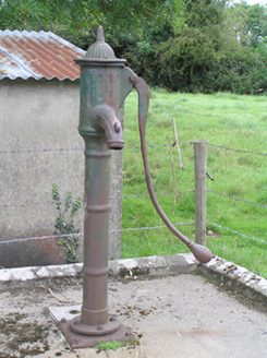 water pump866 yd
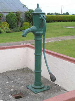 water pump1299 ydCommons North WalkVisitor information · 3.2 miWild birdsVisitor information · 3.4 miBallyclare IslandIslet · 3.9 mi
 Rathcline CastleHouse, fortified house · 4.3 mi
 Rathcline CastleBawn · 4.3 miGraveyard in Curry (ardagh By., Coolamber Ed)Graveyard · 4.3 mi
 Lebanon Cedar5.9 mi
 Pedunculate Oak6.0 mi
More archaeology and monuments in County Longford · All of County Longford
What do you know about this place?