What is recorded here
On the highest point of a hillock and incorporated into a NE-SW field boundary. This irregularly shaped upright (H 2.4m; Wth 1.2m; T 0.6m) tapers to a point at the top.
Compiled by: Patrick F. O'Donovan
Date of upload: 1 March 2012
Likely dating to the Neolithic or Bronze Age, this standing stone may have marked a territorial boundary or served a ritual function. Its position on a prominent hillock suggests it could have had symbolic or ceremonial significance in the landscape.
The monument record does not grant public access. Check the route and ask the landowner before entering private land.
- What survives
- Recorded monument
Places near here
 BarrowBarrow, bowl-barrow · 297 yd
 Enclosure in MollyroeEnclosure · 537 yd
 Church in Moydow GlebeChurch · 697 yd
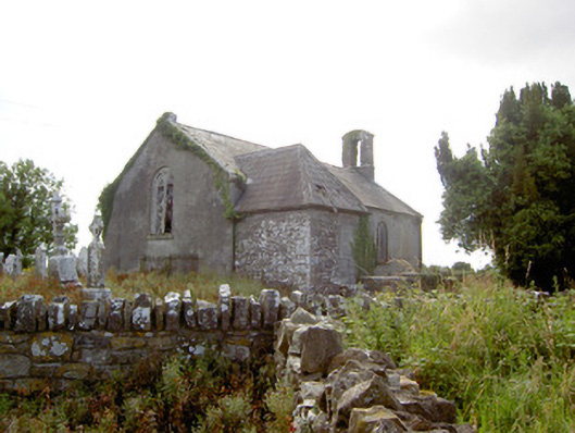 Moydow Churchchurch/chapel · 700 yd
 Bawn in CastlereaBawn · 949 yd
 Bawn Castle & NunneryHouse, fortified house · 1266 yd
 National Famine WayWalking route · 1282 yd
 Graveyard in Curry (ardagh By., Coolamber Ed)Graveyard · 2.7 mi
 First World War MemorialMemorial · 4.3 mi
 Saint Mel's CathedralCathedral · 4.4 mi
 Commons North WalkVisitor information · 9.2 mi
 Wild birdsVisitor information · 9.2 mi