
What is recorded here
On the SE shore of Inchmore Island at the S end of Lough Gowna. Depicted as an enclosure with the designation 'Fort' on the 1837 ed. of the OS 6-inch map where it is represented as a C-shaped bank, curving from S-W-NNE, with the lakeshore forming its E boundary. The lake levels were lowered during the 20th century and the monument now consists of a raised subrectangular area (c. 44.5m NNE-SSW; c. 25.6m NNW-SSE), which is defined from WSW-W-NW by a substantial bank of earth and stone (Wth 2.9-4.9m; H 0.5-1.4m) with a wide, deep, flat bottomed, external fosse (Wth c. 6.8-8.2m; D 0.9-1.2m). The remains of an outer bank (Wth c. 2m; H 0.2-0.4m) are visible from S-W-NNW. Elsewhere the banks have been levelled but ephemeral remains of the inner bank are visible and the fosse is clearly recognisable as a depression (D 0.2-0.5m) occupied by scrub. The SE edge towards the lake is defined by a scarp (H c. 0.3–c. 1.5m). At the S end of the enclosure is a raised, flat-topped, triangular-shaped feature with the acute angle pointing to the S. This has the appearance of a bastion or redoubt (Wth 6.9m; H 0.75-2.2m) though there is no record of such ever having been built on the island. The relationship between it and the enclosure is unclear and the possibility that the bastion-like feature may be a later addition cannot be ruled out.
Compiled by: Patrick F. O'Donovan
Date of upload: 26 June 2013
A local fairy fort (ringfort/rath); wider significance not recorded.
The monument record does not grant public access. Check the route and ask the landowner before entering private land.
- What survives
- Recorded monument
Places near here
 InchmoreIslet · 252 yd
 Columbkilles StoneRitual site, holy/saint's stone · 263 yd
 Abbey (in Rns)Religious house, Augustinian canons · 372 yd
 Derrycassan WoodsWood · 1561 yd
 Sonnagh fortArchaeological place · 1.6 mi
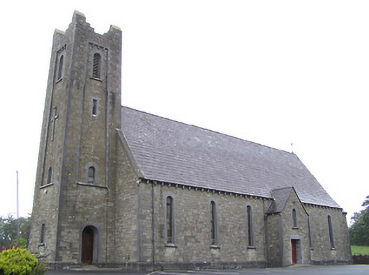 Saint Columba's Catholic Churchchurch/chapel · 1.9 mi
 Mulrick WoodlandForest · 2.5 mi
 BawnBawn · 2.5 mi
 Arnaghan SouthMountain / peak · 3.0 mi
 Cloone Ho.Castle, unclassified · 3.3 mi
 CornagranMountain / peak · 3.4 mi
 Scrabby IslandIslet · 3.4 mi
Other information
Photo: Credit not shown in the picture search · Rights wording not checked; contact us if this picture should be removed