What is recorded here
Associated with an unclassified castle (LF010-029001-). Depicted on the 1837 edition of the OS 6-inch map as a rectangular enclosure named ‘Castle’ (LF010-029001-) and ‘Bawn’. The monument has been levelled and, apart from large quantities of loose stone on the hill from SW–W–N, no visible surface trace survives. A rectangular area (6.3m NE–SW; 2.2m NW–SE), which is c. 0.2m lower than the external ground level, was noted c. 6m to the SE of the highest point of the hill. Its NE and NW sides are well defined but only the outline of the SE and SW sides are identifiable. It is unclear whether this feature is associated with the castle or bawn or whether it is the result of quarrying. O'Donovan
Date of upload: 3 October 2012
Associated with an unclassified castle (LF010-029001-). Depicted on the 1837 edition of the OS 6-inch map as a rectangular enclosure named ‘Castle’ (LF010-029001-) and ‘Bawn’. The monument has been levelled and, apart from large quantities of loose stone on the hill from SW–W–N, no visible surface trace survives. A rectangular area (6.3m NE–SW; 2.2m NW–SE), which is c. 0.2m lower than the external ground level,…
From the National Monuments Service (Archaeological Survey of Ireland) record LF010-029002
The monument record does not grant public access. Check the route and ask the landowner before entering private land.
- What survives
- Recorded monument
Places near here
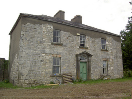 Ballinlough HouseHouse · 688 ydBarrowBarrow, unclassified · 1152 ydCloonfin WoodForest · 1.1 mi
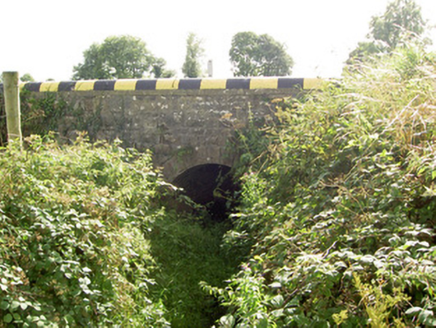 bridge1.1 miClonfin Ambush MemorialMemorial · 1.8 miInchmoreIslet · 2.6 miCastleCastle, unclassified · 3.1 mi
 Granard MotteMotte-and-bailey castle remains · 3.1 mi
 Moat of GranardCastle, motte and bailey · 3.1 mi
 1798 MonumentMonument · 3.1 mi
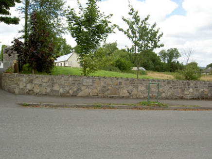 Bully's AcreGraveyard/cemetery, unknown · 3.5 mi
 Portal tomb in AghnacliffPortal tomb · 4.4 mi
Pictures: National Inventory of Architectural Heritage; 2ManyCats4Me, Wikimedia Commons · CC0; Granard Motte.png : Smcq Derivative work: Hogweard, Wikimedia Commons · CC BY-SA 3.0; Wanfried-Dublin, Wikimedia Commons · CC BY-SA 4.0
More castles and forts in County Longford · All of County Longford
What do you know about this place?