
What is recorded here
Granard's moat field holds a nine-metre mound cut into living rock, built by Richard de Tuit in 1199 to strangle O'Reilly resistance on the border of Meath. King John himself slept within its shadows in 1210, while O'Farrell kings may have claimed life through water and stone at this same spot. The wide rock-cut trench still bites into the hillside, a violent scar from a castle that stopped being a castle long before it stopped being remembered.
National Monument No. 263. On top of a hill in pasture with impressive panoramic views of the surrounding countryside and overlooking the historic town of Granard (LF010-055----) c. 220m to the NE. Built within a hillfort (LF010-080002-) (Bradley et al. 1985, 18), it was constructed by Richard de Tuit in 1199 in order to suppress the O'Reilly's of S Breffny and as a frontier castle on the NW border of the Anglo-Norman lordship of Meath (Orpen 1911, vol. 2, 90, 128). In 1210 King John stayed here during his campaign against Hugh de Lacy (Orpen ibid., 262; Bradley et al. 1985, 15). It is the most likely location of the inauguration site (LF010-080003-) of the O'Farrells (Bán) (Bradley et al. ibid., 16; Fitzpatrick 2004, 21-2).
The monument comprises a high, subcircular, steep-sided mound (H c. 9-11m; dims. at base c. 50m ENE-WSW; c. 40m NNW-SSE) with a large D-shaped bailey (c. 150m ENE-WSW; c. 50m NNW-SSE) adjoining it from ESE-S-WSW; there is no fosse separating them. Upon the relatively level summit (27m NNW-SSE; 22m ENE-WSW), which is c. 4m above the level of the bailey, are an OS trigonometrical station and a statue of St Patrick, erected in June 1932. The ‘foundations of a shell wall round the top of the motte, and of a small round tower in the centre’ were noted in the early 20th century (Armitage 1912, 338-9): there is no visible trace of any of these features. A grotto was built into the N side of the monument in 1925 in the course of which a large quantity of stone was removed (using explosives) (SMR file). From WSW-N-ENE the base of the motte is encircled by a wide, deep, steep-sided, rock-cut fosse (Wth 10.5m; D 3.5m) with a wide, high, steep-sided external bank (Wth 8m; H 2.9m). The bailey is defined by the remains of an inner bank of earth and stone, a wide, deep, intervening fosse (Wth c. 12m) and a wide, high outer bank (Wth c. 10m; H c. 2m). The fragmentary remains of a later castle (LF010-080004-) are visible in the SE face of the motte. A medieval church (LF010-055001-) and graveyard (LF010-055002-) lie c. 100m to the N. (Westropp 1904, 323-4; Kearney 1969, 18-23; English 1971, 152; O'Donovan 2003, 31; Burns and Grier 2002, 144-5)
Compiled by: Patrick F. O'Donovan
Date of upload: 17 April 2012
The Moat of Granard was built by the MacWilliam Uachtar (MacWilliam the Upper), a branch of the de Burgh family, in the 13th century. It is important as a well-preserved example of a medieval Irish hillfort and moated castle, reflecting the strategic and territorial ambitions of Anglo-Norman lords in the region.
This remains an important historical record, but the official description says the monument is no longer visible or has been destroyed. The monument record does not grant public access. Check the route and ask the landowner before entering private land.
- What survives
- No visible remains or recorded as destroyed
Places near here
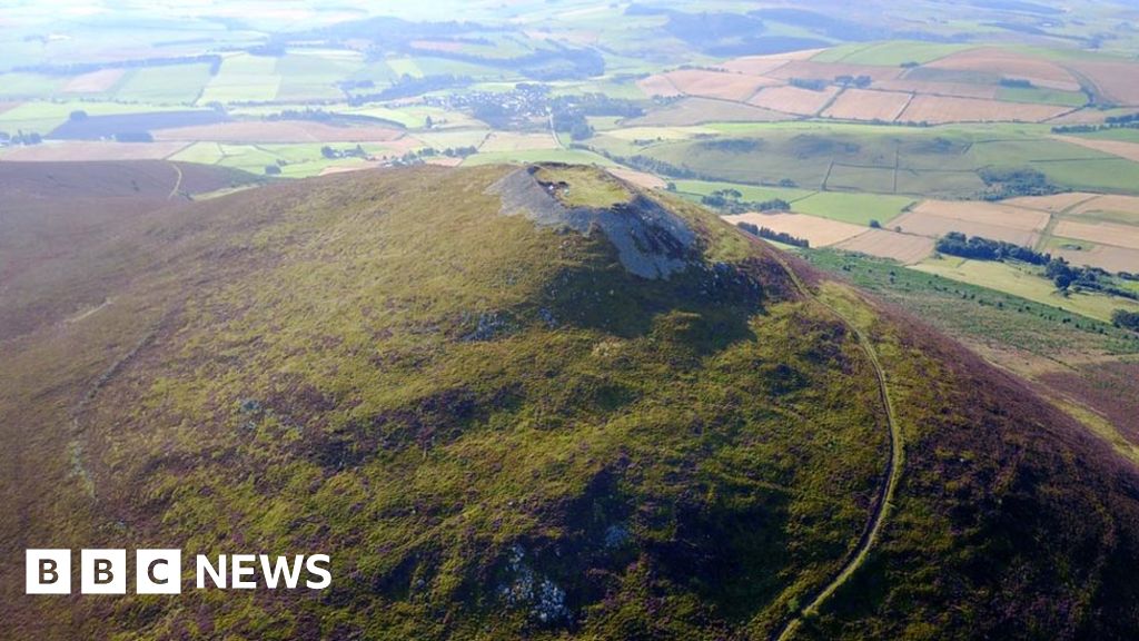 Hillfort in Granard,moatfield,teemoreHillfort · 14 yd
 CastleCastle, unclassified · 33 yd
 Granard MotteMotte-and-bailey castle remains · 52 yd
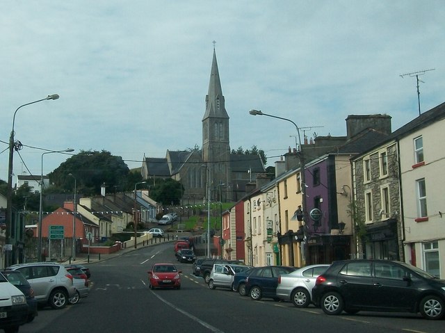 Saint Mary's Catholic Churchchurch/chapel · 122 yd
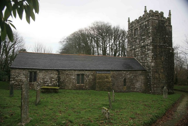 Grave YardGraveyard · 168 yd
 1798 Monumentmonument · 191 yd
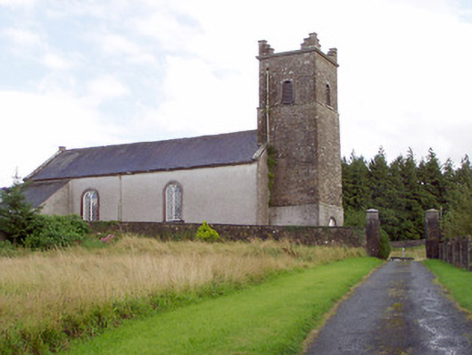 Saint Patrick's Church (Granard)church/chapel · 193 yd
 Bakers FortCastle, ringwork · 607 yd
 CartronfreeMountain / peak · 3.1 mi
 Clonfin Ambush MemorialMemorial · 3.6 mi
 Cloonfin WoodForest · 3.9 mi
 Derrycassan WoodsWood · 3.9 mi
Other information
Photo: Granard Motte.png : Smcq Derivative work: Hogweard · CC BY-SA 3.0