What is recorded here
At the SE end of a hillock, surrounded by marshy wet terrain from E-S-W, c. 90m to the S of the properties facing onto the main street of the medieval borough of Granard (LF010-055----) and 500m E of the motte and bailey (LF010-080001-) and possible medieval church (LF010-055001-). A raised almost circular area (c. 50m E-W; c. 48m N-S; H 1-1.8m) enclosed from SE-SSE-S and from SW-W-N by a bank of earth and stone (Wth 3m; H 0.2-1.8m) and elsewhere defined by a scarp (H 1 1.8m). The remains of a berm (Wth 6m; D 0.15m) from SW-W appear to indicate that the hillock was cut into and levelled to create the raised platform. There is no evidence of any enclosing fosse or of the original entrance. A livestock gap is visible in the S half. The wetland siting of this monument is atypical of a ringfort. Its location in the centre of the possible medieval borough suggests that it may be the site of an Anglo-Norman manor house or the fortified residence of a high-status family of the borough. However, it is very similar morphologically to the excavated ringfort (RO022-114003-) and tower house (LF022-114011-) at Tulsk, county Roscommon (Brady 2011, 309-10).
At the SE end of a hillock, surrounded by marshy wet terrain from E-S-W, c. 90m to the S of the properties facing onto the main street of the medieval borough of Granard (LF010-055----) and 500m E of the motte and bailey (LF010-080001-) and possible medieval church (LF010-055001-). A raised almost circular area (c. 50m E-W; c. 48m N-S; H 1-1.8m) enclosed from SE-SSE-S and from SW-W-N by a bank of earth and stone…
From the National Monuments Service (Archaeological Survey of Ireland) record LF010-056
The monument record does not grant public access. Check the route and ask the landowner before entering private land.
- What survives
- Recorded monument
Places near here
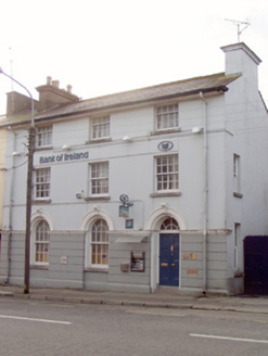 Bank of IrelandBank/financial institution · 145 yd
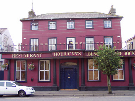 presbytery/parochial/curate's house150 yd
 1798 MonumentMonument · 439 yd
 Granard MotteMotte-and-bailey castle remains · 578 yd
 Moat of GranardCastle, motte and bailey · 607 yd
 Sheela-na-gig in AbbeylaraSheela-na-gig · 2.1 miCartronfreeMountain / peak · 2.8 miClonfin Ambush MemorialMemorial · 3.9 miDerrycassan WoodsWood · 3.9 mi
 Myles O'Reilly MonumentMemorial · 4.3 mi
 Coolamber CastleHouse, fortified house · 4.7 mi
 Portal tomb in AghnacliffPortal tomb · 6.5 mi
Pictures: National Inventory of Architectural Heritage; 2ManyCats4Me, Wikimedia Commons · CC0; Granard Motte.png : Smcq Derivative work: Hogweard, Wikimedia Commons · CC BY-SA 3.0; Gillaween, Wikimedia Commons · CC BY-SA 4.0; Cavanphotography, Wikimedia Commons · CC BY-SA 4.0; Charles T. G. Clarke, Wikimedia Commons · CC BY-SA 4.0; Wanfried-Dublin, Wikimedia Commons · CC BY-SA 4.0
More castles and forts in County Longford · All of County Longford
What do you know about this place?