What is recorded here
Described as 'Cloone House' on the 1835 and 1876 eds of the OS 6-inch map. This is the SW wall of a late 18th/early 19th-century house with large quantities of brick and no features other than a fireplace and tall window at the ground floor and a fragment of a window at the first. It is believed to have been built on the site of a castle (local information), about which there is no other knowledge. There are no visible remains of any earlier structure.
Described as 'Cloone House' on the 1835 and 1876 eds of the OS 6-inch map. This is the SW wall of a late 18th/early 19th-century house with large quantities of brick and no features other than a fireplace and tall window at the ground floor and a fragment of a window at the first. It is believed to have been built on the site of a castle (local information), about which there is no other knowledge. There are no…
From the National Monuments Service (Archaeological Survey of Ireland) record CV036-001
This remains an important historical record, but the official description says the monument is no longer visible or has been destroyed. The monument record does not grant public access. Check the route and ask the landowner before entering private land.
- What survives
- No visible remains or recorded as destroyed
Places near here
Scrabby IslandIslet · 465 yd Lough Gowna Church of Ireland ChurchChurch/chapel · 502 ydwater pump710 ydLaureldaleHouse · 776 ydCornagranMountain / peak · 780 ydScrabby Hill FortArchaeological place · 1461 ydArnaghan NorthMountain / peak · 1592 ydEnclosure in AghanoranEnclosure · 1702 ydMulrick WoodlandForest · 1746 ydCornamucklagh WoodlandWood · 1.0 miWhite IslandIslet · 1.1 miCastleBawn · 2.4 mi
 Lough Gowna Church of Ireland ChurchChurch/chapel · 502 yd
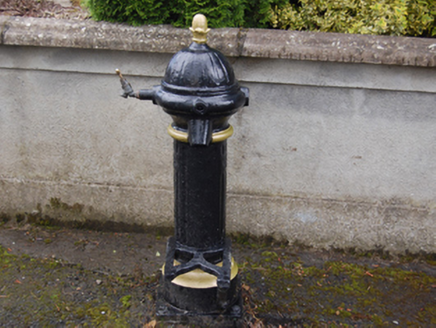 water pump710 yd
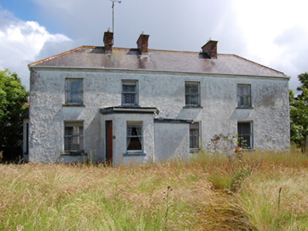 LaureldaleHouse · 776 ydCornagranMountain / peak · 780 ydScrabby Hill FortArchaeological place · 1461 ydArnaghan NorthMountain / peak · 1592 ydEnclosure in AghanoranEnclosure · 1702 ydMulrick WoodlandForest · 1746 ydCornamucklagh WoodlandWood · 1.0 miWhite IslandIslet · 1.1 miCastleBawn · 2.4 mi
Pictures: Oliver Dixon, Geograph · Creative Commons Attribution-ShareAlike 2.0; National Inventory of Architectural Heritage
More castles and forts in County Cavan · All of County Cavan
What do you know about this place?