What is recorded here
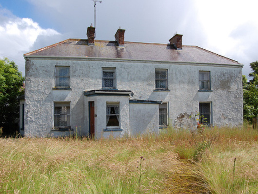
Detached four-bay two-storey house, built c.1860, having single-storey canted porch, canted bay window to side elevation, two-storey single-bay extension to rear. Now disused. Hipped slate roof with terracotta ridge tiles, brick eaves course, two red brick chimneystacks flanking entrance bay an third between southern bays, all having cornice detail, sections of cast-iron rainwater goods. Overhanging roof to canted bay window supported on eaves brackets and having scalloped slates. Roughcast render to rubble stone walls. One-over-one timber sash windows with stone sills. Panelled double-leaf door with bolection mouldings and single pane overlight to side of porch. Replacement door to rear. Oriented perpendicular to road, with collection of outbuildings having corrugated metal roofs and rendered rubble stone walls to the rear along roadside. Rubble stone boundary wall and rebuilt wall with entrance gates to rear yard.
A substantial nineteenth century house with an interesting asymmetrical facade, which suggests that either the house originally had a symmetrical elevation to which an extra bay was added, or that the house is informed by the vernacular tradition which was not overly concerned with external symmetry. The house's siting, set perpendicular to the road, is associated with the vernacular tradition. It retains much of its historic form and character, along with traditional features, such as the sash windows and panelled timber door. The gates and outbuilding add to its setting and context.
From the Buildings of Ireland (National Inventory of Architectural Heritage) record 40403006
This does not grant access. Most recorded buildings are privately owned; view them only from public ground unless the owner allows entry.
Places near here
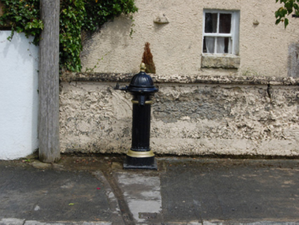 water pump150 yd
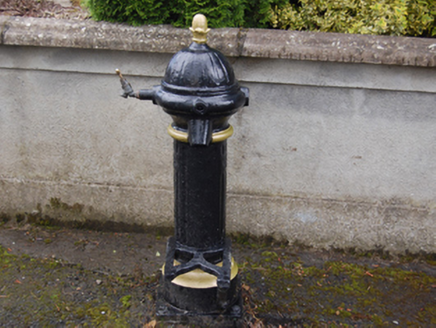 water pump223 ydScrabby IslandIslet · 373 ydCornagranMountain / peak · 498 ydCloone HouseCastle, unclassified · 776 ydAghaveansMountain / peak · 1077 ydScrabby Hill FortArchaeological place · 1101 ydCornamucklagh WoodlandWood · 1496 ydWhite IslandIslet · 1.3 miMulrick WoodlandForest · 1.4 miCastleBawn · 2.6 mi
 Portal tomb in AghnacliffPortal tomb · 3.2 mi
Pictures: National Inventory of Architectural Heritage; Wanfried-Dublin, Wikimedia Commons · CC BY-SA 4.0
More historic places in County Cavan · All of County Cavan
What do you know about this place?