What is recorded here
This rectangular bawn (int. dims. 31.4m E–W; 25.5m N–S), of 17th century date, is constructed of uncoursed rubble. There is no base-batter. It appears to have been defended by at least two flanking towers. Most of the N wall has been replaced by a 20th-century concrete wall. However, a section (H 3m; L 5.7m; T 0.8m) survives at the NE angle where it projects northwards beyond the line of the wall, suggesting that one of the angle towers was formerly located here. Only the N end of the E wall (H 3m; L 6.5m) and the W half of the S wall (H 3.1m; L 12.5m) survive. A modern farm gate midway along the line of the S wall may mark the original entrance. The surviving part of the S wall is the best preserved section of the bawn. The only architectural feature, the splay of a broken-out window or slit ope (Wth 0.5m), is visible on its internal face. Its external face is covered in ivy making detailed examination impossible. There is a circular angle tower (int. diam. 1.8m; H 2m; T 0.8m) on the SW angle. It is one storey high and four gun loops (int. Wth 0.4m; H 0.35m) are visible. No trace of the W wall survives as a 19th-century house and associated outbuildings were built along its line. A shed has been built in the NE angle of the interior. An old roadway or avenue leads up to the bawn as depicted on the 1836 ed. OS 6-inch map. It may be the original roadway into the bawn.
This rectangular bawn (int. dims. 31.4m E–W; 25.5m N–S), of 17th century date, is constructed of uncoursed rubble. There is no base-batter. It appears to have been defended by at least two flanking towers. Most of the N wall has been replaced by a 20th-century concrete wall. However, a section (H 3m; L 5.7m; T 0.8m) survives at the NE angle where it projects northwards beyond the line of the wall, suggesting that…
From the National Monuments Service (Archaeological Survey of Ireland) record LF003-008001
The monument record does not grant public access. Check the route and ask the landowner before entering private land.
- What survives
- Recorded monument
Places near here
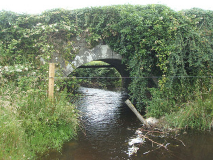 bridge69 ydBurnt spread in EnaghanBurnt spread · 1.0 miWhite IslandIslet · 1.3 miLisraherty Bog WoodlandWood · 1.4 mi
 post box1.5 miArnaghan NorthMountain / peak · 1.5 miArnaghan SouthMountain / peak · 1.9 miCloone HouseCastle, unclassified · 2.4 miMulrick WoodlandForest · 2.5 miScrabby IslandIslet · 2.6 mi
 Portal tomb in AghnacliffPortal tomb · 3.1 mi
 battlefield5.3 mi
Pictures: National Inventory of Architectural Heritage; Wanfried-Dublin, Wikimedia Commons · CC BY-SA 4.0
More castles and forts in County Longford · All of County Longford
What do you know about this place?