What is recorded here
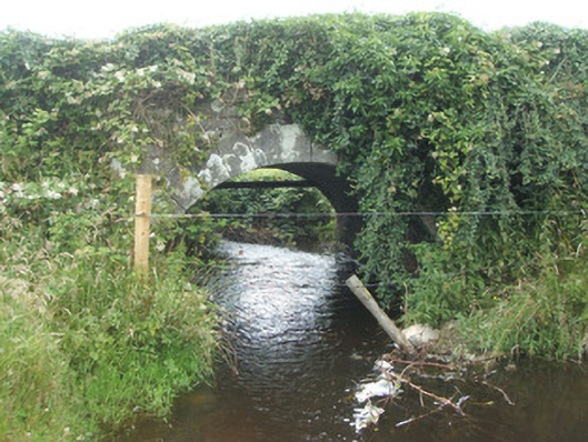
Bridge in Rosduff carries a road over a tiny stream, but its rebuilt eastern wall goes up in steps. The western side says bridge; the eastern side is halfway through explaining how you get into the bunk bed.
Single-arched road bridge over small unnamed stream linking Lough Gowna and Lough Naback, built c. 1800. Round-headed arch having dressed limestone voussoirs to arch. Dressed limestone masonry to barrel. Squared limestone rubble masonry to abutments, spandrels and parapets. Dressed limestone coping over parapet to the west; parapet to east side of bridge rebuilt c. 1960 having concrete walls with stepped profile. Side elevations now overgrown with vegetation. Located to the northeast of Ballinamuck and to the southeast of Moyne.
Although the parapet to the east side has been rebuilt in recent years, this simple single-arched road bridge retains much of its early form and character. It probably dates to c. 1800, a period when a great many small-scale bridges of this type were constructed throughout Ireland by the Grand Juries (the forerunners of the County Councils). It is well-built with good quality dressed limestone masonry to the voussoirs, and represents a modest example of the skill of local craftsmen at the time of construction. This modest bridge is typical of its type and date and is an addition to the built heritage of the local area, adding interesting to the rural landscape to the northeast corner of County Longford.
From the Buildings of Ireland (National Inventory of Architectural Heritage) record 13400309
This does not grant access. Most recorded buildings are privately owned; view them only from public ground unless the owner allows entry.
Places near here
CastleBawn · 69 ydBurnt spread in EnaghanBurnt spread · 1.1 miWhite IslandIslet · 1.3 miLisraherty Bog WoodlandWood · 1.4 mi post box1.5 miArnaghan NorthMountain / peak · 1.6 mibridge1.7 miArnaghan SouthMountain / peak · 1.9 miCloone HouseCastle, unclassified · 2.5 miMulrick WoodlandForest · 2.5 miPortal tomb in AghnacliffPortal tomb · 3.1 mibattlefield5.3 mi
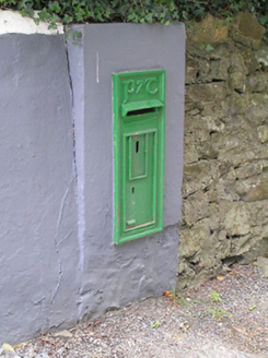 post box1.5 miArnaghan NorthMountain / peak · 1.6 mi
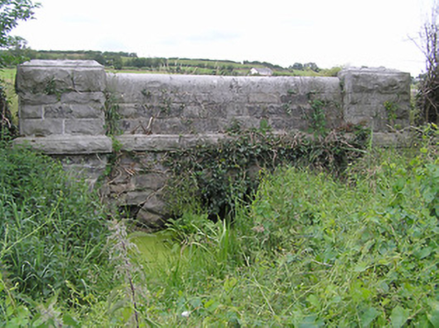 bridge1.7 miArnaghan SouthMountain / peak · 1.9 miCloone HouseCastle, unclassified · 2.5 miMulrick WoodlandForest · 2.5 mi
 Portal tomb in AghnacliffPortal tomb · 3.1 mi
 battlefield5.3 mi
Pictures: National Inventory of Architectural Heritage; Wanfried-Dublin, Wikimedia Commons · CC BY-SA 4.0
More historic places in County Longford · All of County Longford
What do you know about this place?