What is recorded here
On low-lying, wet ground. Indicated in pencil on the NMS copy of the 1837 OS 6-inch map as ‘patch of burnt earth’. Not visible at ground level.
From the National Monuments Service (Archaeological Survey of Ireland) record LF003-012
The monument record does not grant public access. Check the route and ask the landowner before entering private land.
- What survives
- Recorded monument
Places near here
White IslandIslet · 989 ydArnaghan NorthMountain / peak · 1626 ydCastleBawn · 1.0 mi bridge1.1 miLisraherty Bog WoodlandWood · 1.1 miScrabby Hill FortArchaeological place · 1.2 miChurch of the Holy FamilyChurch/chapel · 1.5 miArnaghan SouthMountain / peak · 1.6 miCloone HouseCastle, unclassified · 1.6 miScrabby IslandIslet · 1.8 miPortal tomb in BirrinaghPortal tomb · 2.3 miCornamucklagh WoodlandWood · 2.6 mi
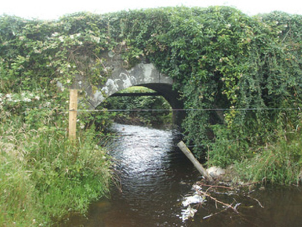 bridge1.1 miLisraherty Bog WoodlandWood · 1.1 miScrabby Hill FortArchaeological place · 1.2 mi
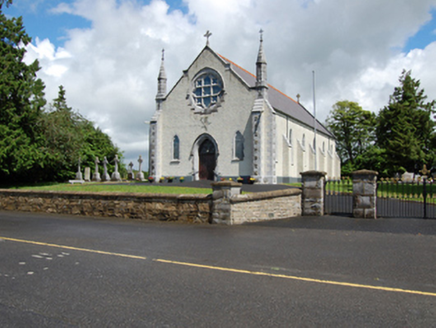 Church of the Holy FamilyChurch/chapel · 1.5 miArnaghan SouthMountain / peak · 1.6 miCloone HouseCastle, unclassified · 1.6 miScrabby IslandIslet · 1.8 miPortal tomb in BirrinaghPortal tomb · 2.3 miCornamucklagh WoodlandWood · 2.6 mi
Pictures: National Inventory of Architectural Heritage
More archaeology and monuments in County Longford · All of County Longford
What do you know about this place?