What is recorded here
Within an extensive area of outcropping rock. This natural spring is enclosed by a low wall on the W, N and E sides, an opening in the NW corner allows access. The S wall is more substantial (L 2m; H 1.5m; T 0.65m) and contains an inscribed stone plaque. On the upper half of the plaque is a carving in false relief of the Virgin and Child with an IHS monogram carved in the top right-hand corner. The lower half bears the following inscription: 'Pray for John Ferrall of / Ardenragh Esq. Consort / and family who erected this monument and left / the ground where of ye Chapple and Well / stands in Honr. of the / Blessed Virgin Mary / Ano Domi 1730'. A whitethorn bush (LF023-040001-) grows beside the well at the E and both the well and bush are adorned with religious memorabilia. The site of a chapel (LF023-039----) and a bullaun (LF023-041----) lie c. 10m to the NW and c. 44m to the SW respectively. (English 1971, 147)
Compiled by: Paul Walsh
Date of upload: 07 June 2013
Within an extensive area of outcropping rock. This natural spring is enclosed by a low wall on the W, N and E sides, an opening in the NW corner allows access. The S wall is more substantial (L 2m; H 1.5m; T 0.65m) and contains an inscribed stone plaque. On the upper half of the plaque is a carving in false relief of the Virgin and Child with an IHS monogram carved in the top right-hand corner. The lower half…
From the National Monuments Service (Archaeological Survey of Ireland) record LF023-040
The monument record does not grant public access. Check the route and ask the landowner before entering private land.
- What survives
- Recorded monument
Places near here
Chapel (Site of)Chapel · 28 yd Treel HouseMill manager's house · 530 ydhandball alley886 ydPedunculate Oak1545 ydCommon Alder1.3 miCastleCastle, motte · 2.1 miAbbeyshrule AbbeyRuins · 3.1 miArdagh Clock TowerMonument · 3.6 miKilbally Holy WellSpring · 4.4 miGoldsmith Birthplace, PallasVisitor information · 4.5 miNewcastle WoodsForest · 5.0 miBawn in CastlereaBawn · 5.5 mi
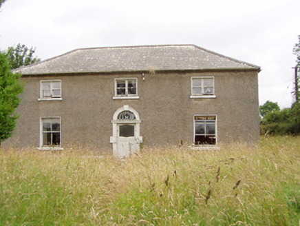 Treel HouseMill manager's house · 530 yd
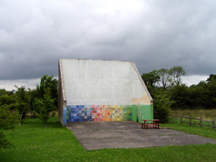 handball alley886 yd
 Pedunculate Oak1545 yd
 Common Alder1.3 miCastleCastle, motte · 2.1 mi
 Abbeyshrule AbbeyRuins · 3.1 mi
 Ardagh Clock TowerMonument · 3.6 miKilbally Holy WellSpring · 4.4 miGoldsmith Birthplace, PallasVisitor information · 4.5 miNewcastle WoodsForest · 5.0 mi
 Bawn in CastlereaBawn · 5.5 mi
Pictures: National Inventory of Architectural Heritage; Algirdas at Lithuanian Wikipedia, Wikimedia Commons · Public domain; Willow, Wikimedia Commons · CC BY 2.5; Jamesco101, Wikimedia Commons · CC BY-SA 4.0; SE Keenan, Wikimedia Commons · CC BY-SA 4.0; Mike Searle, Geograph · CC BY-SA 2.0
More archaeology and monuments in County Longford · All of County Longford
What do you know about this place?