What is recorded here
On the E edge of a N-S ridge in pastureland with good views in all directions. A circular steep-sided mound of earth and stone (H 1.3 2.6m; diam. at base c. 20m). On the summit (diam. 9m) a square-shaped depression (N-S 4m; E-W 4m; D 0.2-0.3m), enclosed by wall-footings, is evident. It may be the remains of a building that is depicted on the 1837 ed. of the OS 6 inch map or the remains a stone castle, or possibly a gazebo or summer house associated with the Richmount Hill house, c. 60m to the SW. Traces of possible stone steps are visible on the W face of the motte and there is evidence of stone facing or revetting on the E and W faces. These features may be associated with subsequent landscaping. A report in 1976 (SMR file) noted an irregular platform to the S that might be the remains of a bailey. The platform, which is defined by a low barely visible earthen bank, may be also be associated with landscaping. O'Donovan
Date of upload: 28 March 2012
On the E edge of a N-S ridge in pastureland with good views in all directions. A circular steep-sided mound of earth and stone (H 1.3 2.6m; diam. at base c. 20m). On the summit (diam. 9m) a square-shaped depression (N-S 4m; E-W 4m; D 0.2-0.3m), enclosed by wall-footings, is evident. It may be the remains of a building that is depicted on the 1837 ed. of the OS 6 inch map or the remains a stone castle, or possibly…
From the National Monuments Service (Archaeological Survey of Ireland) record LF023-019
The monument record does not grant public access. Check the route and ask the landowner before entering private land.
- What survives
- Recorded monument
Places near here
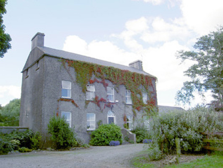 Richmount HillHouse · 82 ydEnclosure in BallybegEnclosure · 304 ydEnclosure in BallybegEnclosure · 395 yd
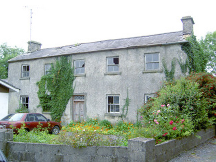 Keel HouseHouse · 1.4 miDoonphilipCastle, motte · 1.7 miKilbally Holy WellSpring · 2.6 mi
 European Beech2.7 miNational Famine WayWalking route · 3.4 mi
 Bawn in CastlereaBawn · 3.6 mi
 Common Lime3.6 mi
 Abbeyshrule AbbeyRuins · 3.7 miGoldsmith Birthplace, PallasVisitor information · 4.1 mi
Pictures: National Inventory of Architectural Heritage; Malene Thyssen, Wikimedia Commons · CC BY-SA 3.0; Mike Searle, Geograph · CC BY-SA 2.0; Alvesgaspar, Wikimedia Commons · CC BY-SA 3.0; Jamesco101, Wikimedia Commons · CC BY-SA 4.0
More castles and forts in County Longford · All of County Longford
What do you know about this place?