What is recorded here
Within the interior of a possible rath (LF023-059001-). A steep-sided, oval earthen mound (H c. 7m; dims. at base c. 45m NNE-SSW; c. 40m WNW-ESE) with a flat-topped summit (c. 32m N-S; c. 28m E-W) is enclosed by a shallow fosse (Wth 6.3m; D 1.1m) with a very wide, low external bank of earth and stone (Wth 9.3m; H 1m) from SSE-N-NE. There is a causeway (Wth 4.25m) leading across the fosse and up to the top of the motte at SE. (CUCAP, AVO 49)
Compiled by: Patrick F. O'Donovan
Date of upload: 26 March 2012
Within the interior of a possible rath (LF023-059001-). A steep-sided, oval earthen mound (H c. 7m; dims. at base c. 45m NNE-SSW; c. 40m WNW-ESE) with a flat-topped summit (c. 32m N-S; c. 28m E-W) is enclosed by a shallow fosse (Wth 6.3m; D 1.1m) with a very wide, low external bank of earth and stone (Wth 9.3m; H 1m) from SSE-N-NE. There is a causeway (Wth 4.25m) leading across the fosse and up to the top of the…
From the National Monuments Service (Archaeological Survey of Ireland) record LF023-059
The monument record does not grant public access. Check the route and ask the landowner before entering private land.
- What survives
- Recorded monument
Places near here
IndicatedFairy fort / earthen ringfort · 516 ydNot locatedCastle, unclassified · 849 ydIndicatedFairy fort / earthen ringfort · 918 yd Catholic Church of the Sacred HeartChurch/chapel · 956 ydpost box1024 ydKilbally Holy WellSpring · 1.3 miGoldsmith Birthplace, PallasVisitor information · 2.8 miNewcastle WoodsForest · 2.8 miTarget WoodWood · 3.1 miCraft WorkshopHeritage attraction · 3.6 miBawn in CastlereaBawn · 3.9 miEuropean Beech5.1 mi
 Catholic Church of the Sacred HeartChurch/chapel · 956 yd
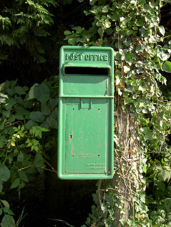 post box1024 ydKilbally Holy WellSpring · 1.3 miGoldsmith Birthplace, PallasVisitor information · 2.8 miNewcastle WoodsForest · 2.8 miTarget WoodWood · 3.1 miCraft WorkshopHeritage attraction · 3.6 mi
 Bawn in CastlereaBawn · 3.9 mi
 European Beech5.1 mi
Pictures: Eric Jones, Geograph · Creative Commons Attribution-ShareAlike 2.0; National Inventory of Architectural Heritage; Mike Searle, Geograph · CC BY-SA 2.0; Malene Thyssen, Wikimedia Commons · CC BY-SA 3.0
More castles and forts in County Longford · All of County Longford
What do you know about this place?