What is recorded here
A possible castle is depicted on the Down Survey (1655-6) map of Abbeyshrule parish (NLI, MS 719), in the townland of ‘Tibber part of Kappoge’. Its precise location has not been identified.
From the National Monuments Service (Archaeological Survey of Ireland) record LF023-133
The monument record does not grant public access. Check the route and ask the landowner before entering private land.
- What survives
- Recorded monument
Places near here
 Catholic Church of the Sacred HeartChurch/chapel · 334 yd
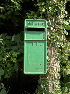 post box387 ydIndicated FortFairy fort / earthen ringfort · 761 ydDoonphilipCastle, motte · 849 ydEnclosure in Killeendowd,taghshinnyEnclosure · 883 ydKilbally Holy WellSpring · 1.8 miGoldsmith Birthplace, PallasVisitor information · 2.4 miNewcastle WoodsForest · 2.5 miTarget WoodWood · 2.8 miCraft WorkshopHeritage attraction · 3.2 mi
 Bawn in CastlereaBawn · 4.4 mi
 European Beech5.0 mi
Pictures: Eric Jones, Geograph · Creative Commons Attribution-ShareAlike 2.0; National Inventory of Architectural Heritage; Mike Searle, Geograph · CC BY-SA 2.0; Malene Thyssen, Wikimedia Commons · CC BY-SA 3.0
More castles and forts in County Longford · All of County Longford
What do you know about this place?