
What is recorded here
Situated on reclaimed grassland. Outline of roughly D-shaped area (diam. c. 58m N-S; 50m E-W) enclosed by a low bank and external fosse transected at S by townland boundary running NE-SW visible on Digital Globe aerial imagery taken 2011-13.
See attached Google Earth orthoimages
Compiled by: Caimin O'Brien based on details provided by Jean-Charles Caillère
Date of upload: 10 April 2021
The monument record does not grant public access. Check the route and ask the landowner before entering private land.
- What survives
- Recorded monument
Places near here
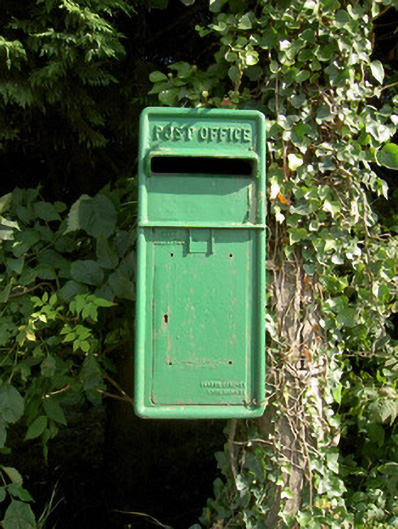 post boxpost box · 754 yd
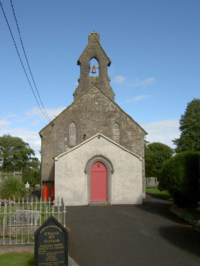 Taghshinny Churchchurch/chapel, graveyard/cemetery · 774 yd
 Enclosure in LisnacreevyEnclosure · 794 yd
 Not locatedCastle, unclassified · 883 yd
 Indicated FortFairy fort / earthen ringfort · 1084 yd
 DoonphilipCastle, motte · 1715 yd
 Goldsmith Birthplace, PallasVisitor information · 2.0 mi
 Newcastle WoodsForest · 2.2 mi
 Abbeyshrule AbbeyRuins · 2.3 mi
 Target WoodWood · 2.4 mi
 Guest ServicesVisitor information · 2.7 mi
 Sessile OakSessile Oak · 3.9 mi
Other information
Photo: Credit not shown in the picture search · Rights wording not checked; contact us if this picture should be removed