
What is recorded here
Within Ballybeg tree-ring (LF010-023001-). A report in 1976 (SMR file) recorded a house site (LF023-014003-) at the inner face of the bank at N. A possible rectangular enclosure (c. 6.1m NNE-SSW; c. 3.5m ENE-WSW) can be traced, albeit with difficultly, extending into the interior from the inner face of the bank at NNW. The other three sides are defined by fragmentary remains of grassed-over loose stone. A short length of possible walling (L 0.3m) on the ENE side is the best preserved (wall T. 0.2m). Immediately ENE of the possible enclosure is a small, low, approx. circular, largely grassed over mound of stones (2m ENE-WSW; 1.9m NNW-SSE). It is likely that these features are associated with the construction of the field boundary rather than enclosures or structures.
Compiled by: Patrick F. O'Donovan
Date of upload: 26 August 2011
The monument record does not grant public access. Check the route and ask the landowner before entering private land.
- What survives
- Recorded monument
Places near here
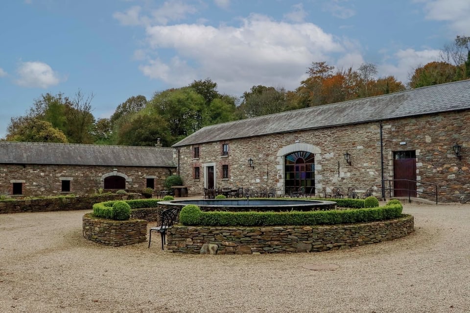 Enclosure in BallybegEnclosure · 289 yd
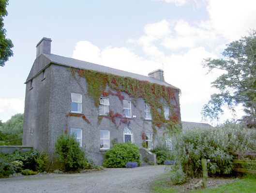 Richmount Hillhouse · 392 yd
 CastleCastle, motte · 395 yd
 IndicatedFairy fort / earthen ringfort · 1011 yd
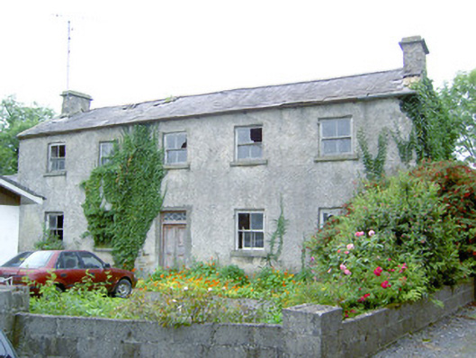 Keel Househouse · 1.3 mi
 DoonphilipCastle, motte · 1.7 mi
 National Famine WayWalking route · 3.2 mi
 Common LimeCommon Lime · 3.9 mi
 Abbeyshrule AbbeyRuins · 3.9 mi
 Goldsmith Birthplace, PallasVisitor information · 4.3 mi
 Newcastle WoodsForest · 4.5 mi
 Target WoodWood · 4.7 mi
Other information
Photo: Credit not shown in the picture search · Rights wording not checked; contact us if this picture should be removed