What is recorded here
Within the W half of a designed landscape feature (LF023-015----). Marked as a roughly D-shaped enclosure on the 1914 edition of the OS 6-inch map with the straight side, running NNW-SSE, defined by the limits of the tree plantation. Described in 1975 (SMR file) as a ‘square structure’ defined by grass-covered stony banks (H1.5-2m); possibly the site of a castle or later building. It consists of an earthen bank enclosing a sunken square-shaped interior; there is no evidence of any enclosing element on the W side. The entrance is not apparent. The high steep-sided external face of the bank on the S side suggests that the enclosure may have been partially quarried or cut away in the 18th or 19th centuries. The dating of this monument is uncertain.
Within the W half of a designed landscape feature (LF023-015----). Marked as a roughly D-shaped enclosure on the 1914 edition of the OS 6-inch map with the straight side, running NNW-SSE, defined by the limits of the tree plantation. Described in 1975 (SMR file) as a ‘square structure’ defined by grass-covered stony banks (H1.5-2m); possibly the site of a castle or later building. It consists of an earthen bank…
From the National Monuments Service (Archaeological Survey of Ireland) record LF023-015001
The monument record does not grant public access. Check the route and ask the landowner before entering private land.
- What survives
- Recorded monument
Places near here
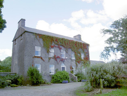 Richmount HillHouse · 243 yd
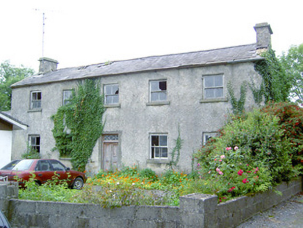 Keel HouseHouse · 1.3 mi
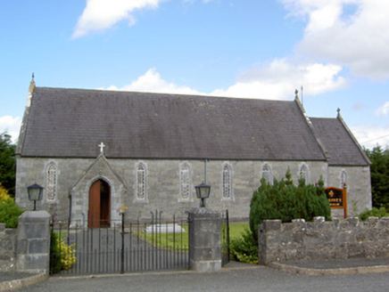 Saint Anne's Catholic ChurchChurch/chapel · 1.4 mi
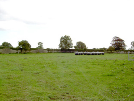 Park PlaceWalled garden · 1.5 mi
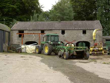 Tully HouseOutbuilding · 1.7 mi
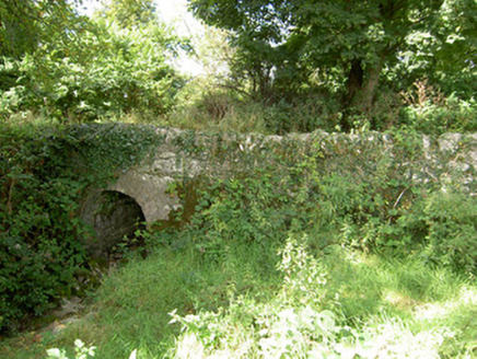 bridge1.8 mi
 Bawn in CastlereaBawn · 3.5 mi
 Abbeyshrule AbbeyRuins · 3.8 mi
 Leveret IslandIslet · 10 mi
 Coolamber CastleHouse, fortified house · 11 mi
 Ecclesiastical enclosure in InchbofinEcclesiastical enclosure · 11 mi
 InchbofinIslet · 11 mi
Pictures: National Inventory of Architectural Heritage; Mike Searle, Geograph · CC BY-SA 2.0; Jamesco101, Wikimedia Commons · CC BY-SA 4.0; David Baird, Geograph · CC BY-SA 2.0; Charles T. G. Clarke, Wikimedia Commons · CC BY-SA 4.0; Sailko, Wikimedia Commons · CC BY 3.0; David Baird, Wikimedia Commons · CC BY-SA 2.0
More archaeology and monuments in County Longford · All of County Longford
What do you know about this place?