What is recorded here
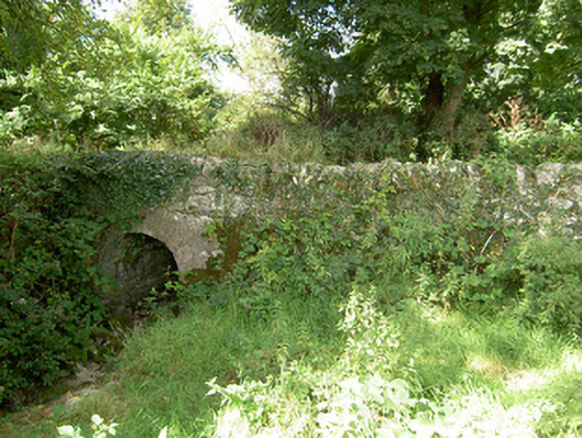
Bridge in Ballymacshane starts with a rounded stone arch and widens into a square concrete opening. The extension has the air of a brother arriving at a wedding in his work van: ‘What? I’m carrying half the family.’
Single-arched road bridge over small unnamed river or stream (tributary of the River Inny), built c. 1800. Rubble stone parapets, abutments and spandrel walls. Round-headed arch with dressed limestone voussoirs to arch. Widened by northwest side by square-headed concrete section. Rubble stone wing walls to either side (northeast and southwest). Located in the rural countryside to the southwest of Legan.
Although widened to the northwest side by a modern section, this modest single-arch road bridge retains its early character. The simple form of this road bridge is enhanced by the textural variation created by the rubble stone spandrel walls and parapets with the dressed limestone voussoirs to the single small arch. The bridge serves as a reminder of the quality of the engineering and local craftsmen's skills. It probably dates to the late-eighteenth or the early-nineteenth century, a period that saw a great deal of bridge building in Ireland, particularly by the Grand Juries (the forerunners of the County Councils). It is an attractive feature in the landscape to the southwest of Legan, and adds historic incident to its pleasant rural location.
From the Buildings of Ireland (National Inventory of Architectural Heritage) record 13402312
This does not grant access. Most recorded buildings are privately owned; view them only from public ground unless the owner allows entry.
Places near here
IndicatedFairy fort / earthen ringfort · 317 yd water pump732 ydField system in Deerpark (shrule By.)Field system · 1586 ydColehill HouseOutbuilding · 1624 ydEuropean Beech1.2 miNot locatedCastle, unclassified · 1.4 miCommon Lime2.0 miAbbeyshrule AbbeyRuins · 2.0 miGoldsmith Birthplace, PallasVisitor information · 2.9 miKilbally Holy WellSpring · 3.1 miNewcastle WoodsForest · 3.3 miBawn in CastlereaBawn · 5.1 mi
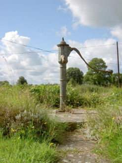 water pump732 ydField system in Deerpark (shrule By.)Field system · 1586 yd
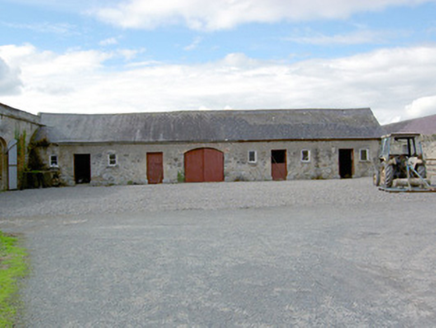 Colehill HouseOutbuilding · 1624 yd
 European Beech1.2 miNot locatedCastle, unclassified · 1.4 mi
 Common Lime2.0 mi
 Abbeyshrule AbbeyRuins · 2.0 miGoldsmith Birthplace, PallasVisitor information · 2.9 miKilbally Holy WellSpring · 3.1 miNewcastle WoodsForest · 3.3 mi
 Bawn in CastlereaBawn · 5.1 mi
Pictures: National Inventory of Architectural Heritage; Malene Thyssen, Wikimedia Commons · CC BY-SA 3.0; Alvesgaspar, Wikimedia Commons · CC BY-SA 3.0; Jamesco101, Wikimedia Commons · CC BY-SA 4.0; Mike Searle, Geograph · CC BY-SA 2.0
More historic places in County Longford · All of County Longford
What do you know about this place?