What is recorded here
Straddling a low, narrow E-W ridge in pasture. This circular area (diam. c. 38m) is carved out of the ridge and is defined by an irregular scarp (H 0.5-2m). At the base of the scarp at ESE are traces of a shallow external fosse (Wth 3m; D 0.15m). The original entrance is not recognisable. Large boulders protrude from the ground in the E half of the interior. O'Donovan
Date of upload: 16 January 2012
From the National Monuments Service (Archaeological Survey of Ireland) record LF023-068
The monument record does not grant public access. Check the route and ask the landowner before entering private land.
- What survives
- Recorded monument
Places near here
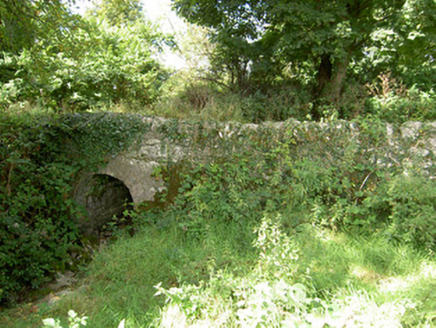 bridge317 yd
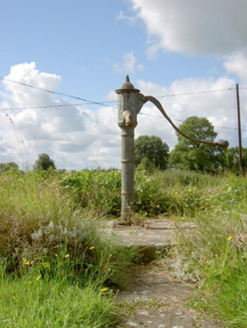 water pump939 ydIndicated FortFairy fort / earthen ringfort · 1515 ydField system in Deerpark (shrule By.)Field system · 1733 ydNot locatedCastle, unclassified · 1.3 mi
 European Beech1.3 mi
 Common Lime2.1 mi
 Abbeyshrule AbbeyRuins · 2.2 miKilbally Holy WellSpring · 2.9 miGoldsmith Birthplace, PallasVisitor information · 2.9 miNewcastle WoodsForest · 3.3 mi
 Bawn in CastlereaBawn · 5.0 mi
Pictures: National Inventory of Architectural Heritage; Malene Thyssen, Wikimedia Commons · CC BY-SA 3.0; Alvesgaspar, Wikimedia Commons · CC BY-SA 3.0; Jamesco101, Wikimedia Commons · CC BY-SA 4.0; Mike Searle, Geograph · CC BY-SA 2.0
More archaeology and monuments in County Longford · All of County Longford
What do you know about this place?