What is recorded here
On a low rise in unimproved grassland peppered with outcropping rock; within a walled deerpark (LF023-135----). The remains of this relict field system lie to the N and E of a cashel-like enclosure (LF023-071----) and associated houses (LF023-071001-; LF023-071002-). A series of low grass-covered drystone field walls radiate out for a distance of c. 15m from the enclosure from NW-N-E and run into a curving field wall which mirrors the curve of the enclosure. They form a series of small rectangular fields or paddocks (dims. c. 15m x 10m), some of which contain ridge and furrow cultivation ridges. The field boundaries consist of grass-covered earth and stone banks (H c. 0.5-0.7m; Wth c. 1m), in various states of preservation, which extend c. 150m to the NW and c. 50m to the E of the enclosure. The field system, cashel and houses all appear to be contemporary in date. (CUCAP, AVJ 51)
Compiled by: Caimin O'Brien
Date of upload: 18 June 2012
On a low rise in unimproved grassland peppered with outcropping rock; within a walled deerpark (LF023-135----). The remains of this relict field system lie to the N and E of a cashel-like enclosure (LF023-071----) and associated houses (LF023-071001-; LF023-071002-). A series of low grass-covered drystone field walls radiate out for a distance of c. 15m from the enclosure from NW-N-E and run into a curving field…
From the National Monuments Service (Archaeological Survey of Ireland) record LF023-071003
The monument record does not grant public access. Check the route and ask the landowner before entering private land.
- What survives
- Recorded monument
Places near here
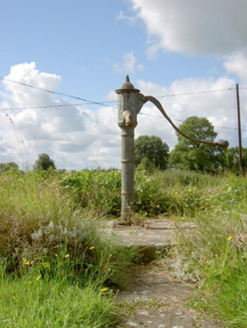 water pump873 ydHachured FortsFairy fort / earthen ringfort · 888 yd
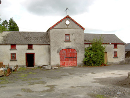 Sunfield HouseFarmyard complex · 1231 yd
 European Beech1.1 mi
 Pedunculate Oak1.6 miCastleCastle, motte · 1.8 mi
 Abbeyshrule AbbeyRuins · 2.4 miGoldsmith Birthplace, PallasVisitor information · 3.7 miKilbally Holy WellSpring · 3.8 mi
 Ardagh Clock TowerMonument · 3.9 miNewcastle WoodsForest · 4.2 mi
 Bawn in CastlereaBawn · 5.4 mi
Pictures: National Inventory of Architectural Heritage; Malene Thyssen, Wikimedia Commons · CC BY-SA 3.0; Algirdas at Lithuanian Wikipedia, Wikimedia Commons · Public domain; Jamesco101, Wikimedia Commons · CC BY-SA 4.0; SE Keenan, Wikimedia Commons · CC BY-SA 4.0; Mike Searle, Geograph · CC BY-SA 2.0
More archaeology and monuments in County Longford · All of County Longford
What do you know about this place?