What is recorded here
On a gentle E-facing slope in pasture. A report in 1976 (SMR file) recorded a raised circular area (diam. c. 32m) enclosed by a low bank of earth and stone with an external fosse. The original entrance was at S. The rath has since been levelled and is not visible at ground level. O'Donovan
Date of upload: 26 August 2011
From the National Monuments Service (Archaeological Survey of Ireland) record LF023-038
The monument record does not grant public access. Check the route and ask the landowner before entering private land.
- What survives
- Recorded monument
Places near here
Photo credits
- National Inventory of Architectural Heritage
- Algirdas at Lithuanian Wikipedia, Wikimedia Commons · Public domain
- Malene Thyssen, Wikimedia Commons · CC BY-SA 3.0
- Jamesco101, Wikimedia Commons · CC BY-SA 4.0
- SE Keenan, Wikimedia Commons · CC BY-SA 4.0
- Mike Searle, Geograph · CC BY-SA 2.0
Lady WellHoly well · 624 yd Treel HouseMill manager's house · 1056 ydTully HouseOutbuilding · 1058 ydPedunculate Oak1.1 miEuropean Beech1.3 miCastleCastle, motte · 2.0 miAbbeyshrule AbbeyRuins · 2.7 miArdagh Clock TowerMonument · 3.9 miGoldsmith Birthplace, PallasVisitor information · 4.2 miKilbally Holy WellSpring · 4.3 miNewcastle WoodsForest · 4.7 miBawn in CastlereaBawn · 5.6 mi
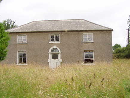 Treel HouseMill manager's house · 1056 yd
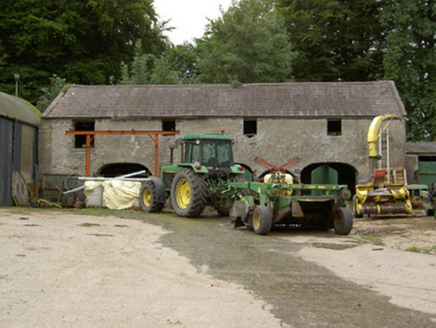 Tully HouseOutbuilding · 1058 yd
 Pedunculate Oak1.1 mi
 European Beech1.3 miCastleCastle, motte · 2.0 mi
 Abbeyshrule AbbeyRuins · 2.7 mi
 Ardagh Clock TowerMonument · 3.9 miGoldsmith Birthplace, PallasVisitor information · 4.2 miKilbally Holy WellSpring · 4.3 miNewcastle WoodsForest · 4.7 mi
 Bawn in CastlereaBawn · 5.6 mi
More archaeology and monuments in County Longford · All of County Longford
What do you know about this place?